
ឯកសារ:Map of South Africa with district borders (2009).svg

Size of this PNG preview of this SVG file: ៦៨៤ × ៥៩៩ ភីកសែ. ភាពម៉ត់ផ្សេងទៀត៖ ២៧៤ × ២៤០ ភីកសែ | ៥៤៨ × ៤៨០ ភីកសែ | ៨៧៦ × ៧៦៨ ភីកសែ | ១១៦៨ × ១០២៤ ភីកសែ | ២៣៣៧ × ២០៤៨ ភីកសែ | ៨០៩ × ៧០៩ ភីកសែ។
រូបភាពដើម (ឯកសារប្រភេទSVG ៨០៩ × ៧០៩ ភីកសែល ទំហំឯកសារ៖ ១.៣២មេកាបៃ)
.svg)
ចំណារពន្យល់
| ការពិពណ៌នា |
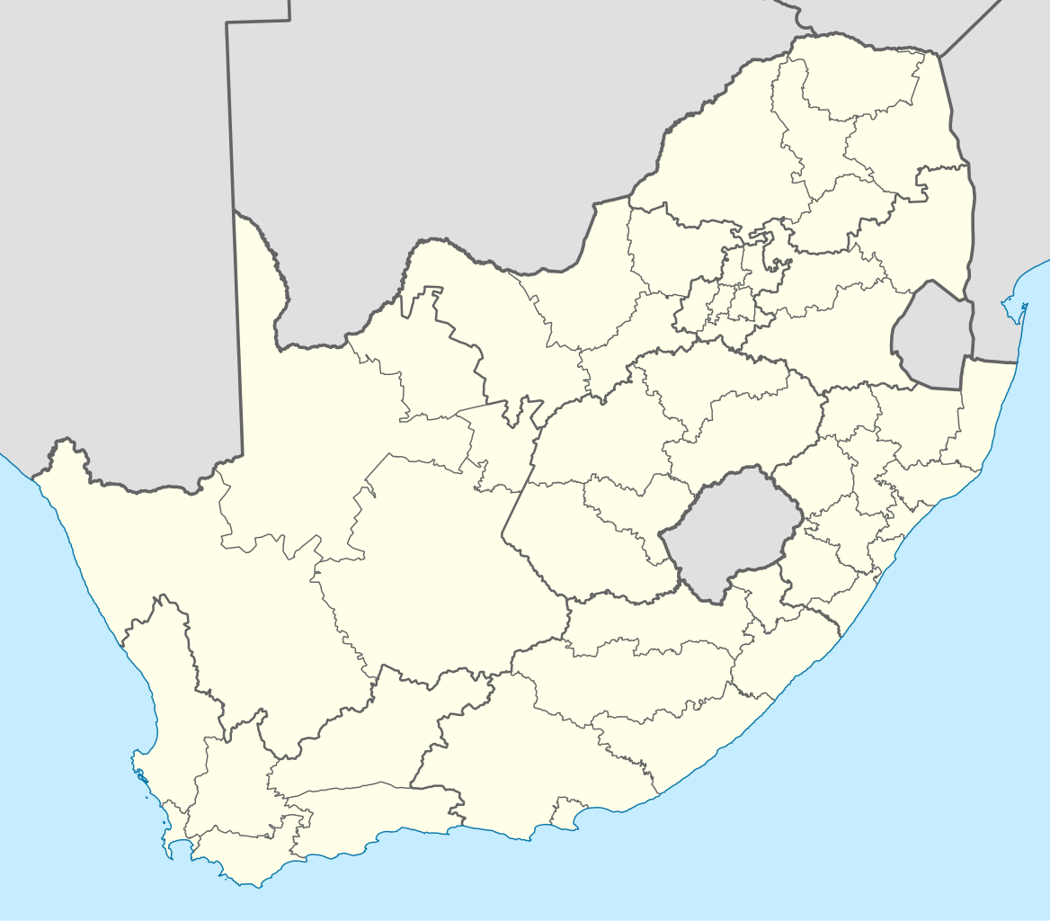
English: Map of South Africa with the borders of the provinces and the district and metropolitan municipalities, as they were after the transfer of Merafong City to Gauteng on 22 April 2009 |
| កាលបរិច្ឆេទ | |
| ប្រភព | ការងារផ្ទាល់របស់អ្នកផ្ទុកឡើង |
| អ្នកនិពន្ធ | Htonl |
| ទំរង់ផ្សេងទៀត | File:Map of South Africa with district borders (2006).svg, File:Map of South Africa with district borders (2011).svg |
.svg)
.svg)
ការដាក់អាជ្ញាប័ណ្ណ
I, the copyright holder of this work, hereby publish it under the following licenses:
ឯកសារនេះជាប់អាជ្ញាបណ្ឌCreative Commons Attribution-Share Alike 3.0 Unported។
- អ្នកមានសិទ្ធិ៖
- ចែកចាយ – ថតចំលងនិងចែកចាយស្នាដៃនេះ
- កែច្នៃ – កែច្នៃយកទៅប្រើ
- ក្រោមលក្ខខណ្ឌដូចតទៅនេះ៖
- ភាពជាម្ចាស់កម្មសិទ្ធ – You must give appropriate credit, provide a link to the license, and indicate if changes were made. You may do so in any reasonable manner, but not in any way that suggests the licensor endorses you or your use.
- share alike – If you remix, transform, or build upon the material, you must distribute your contributions under the same or compatible license as the original.

|
រូបភាពនៃទំព័រនេះជាកម្មសិទ្ធិរបស់GNU Free Documentation License។ Version 1.2 ឬក៏ខ្ពស់ជាងនេះត្រូវបានឧបត្ថមគាំទ្រដោយ មូលនិធិសូហ្វវែរដោយឥតគិតថ្លៃ (Free Software Foundation) ដែលមិនមានផ្នែកណាមួយរបស់ប្រភពដើមរួមទាំងអក្សរនៅលើគំរបមុខនិងខ្នង ត្រូវបានផ្លាស់ប្តូរទេ។ ចំពោះផ្នែកដែលមិនអាចផ្លាស់ប្តូរបាន សូមមើលGNU Free Documentation License។ |
You may select the license of your choice.
ប្រវត្តិឯកសារ
ចុចលើម៉ោងនិងកាលបរិច្ឆេទដើម្បីមើលឯកសារដែលបានផ្ទុកឡើងនៅពេលនោះ។
| ម៉ោងនិងកាលបរិច្ឆេទ | កូនរូបភាព | វិមាត្រ | អ្នកប្រើប្រាស់ | យោបល់ | |
|---|---|---|---|---|---|
| បច្ចុប្បន្ន | ម៉ោង១៣:០០ ថ្ងៃពុធ ទី៣០ ខែមីនា ឆ្នាំ២០១១ | | ៨០៩ × ៧០៩ (១.៣២មេកាបៃ) | Htonl | bugfix |
| ម៉ោង០១:២២ ថ្ងៃពុធ ទី៣០ ខែមីនា ឆ្នាំ២០១១ |  | ៨០៩ × ៧០៩ (១.៣២មេកាបៃ) | Htonl | == Summary == {{Information |Description ={{en|1=Map of South Africa with the borders of the provinces and the district and metropolitan municipalities, as they were after the transfer of Merafong City to Gauteng on 22 April 2009}} |Source ={{o |
បម្រើបម្រាស់ឯកសារ
ទំព័រ ខាងក្រោមប្រើប្រាស់ឯកសារនេះ ៖
បម្រើបម្រាស់ឯកសារជាសាកល
វីគីដទៃទៀតដូចខាងក្រោមនេះប្រើប្រាស់ឯកសារនេះ៖
.svg)