
ឯកសារ:France location map-Regions and departements-2016.svg

Size of this PNG preview of this SVG file: ៦២៤ × ៦០០ ភីកសែ. ភាពម៉ត់ផ្សេងទៀត៖ ២៥០ × ២៤០ ភីកសែ | ៤៩៩ × ៤៨០ ភីកសែ | ៧៩៩ × ៧៦៨ ភីកសែ | ១០៦៦ × ១០២៤ ភីកសែ | ២១៣១ × ២០៤៨ ភីកសែ | ២០០០ × ១៩២២ ភីកសែ។
រូបភាពដើម (ឯកសារប្រភេទSVG ២០០០ × ១៩២២ ភីកសែល ទំហំឯកសារ៖ ៥៥១គីឡូបៃ)
ចំណារពន្យល់
| ការពិពណ៌នា |
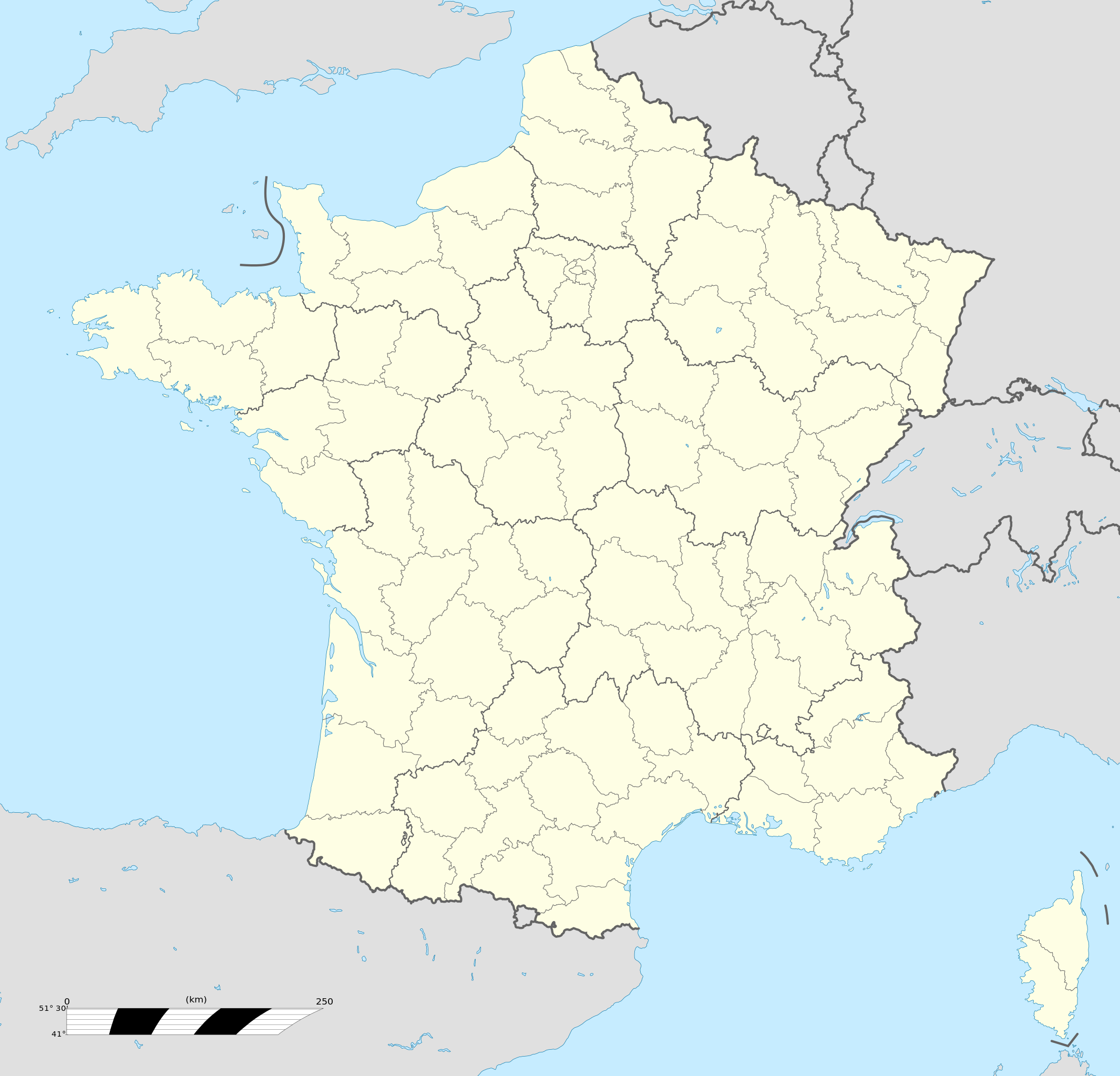
Français : Carte administrative vierge de la France destinée à la géolocalisation, avec régions et départements distingués.
Échelle approximative : 1:3 000 000
English: Blank administrative map of France for geo-location purpose, with regions and departements distinguished.
Approximate scale : 1:3,000,000
Projection équirectangulaire, données WGS84
Limites géographiques de la carte :
|
| កាលបរិច្ឆេទ | |
| ប្រភព |
This file was derived from: France location map-Regions and departements-2015.svg |
| អ្នកនិពន្ធ | Superbenjamin |
| ទំរង់ផ្សេងទៀត |
|
| SVG genesis | រូបភាពក្រាភិកវ៉ិចទ័រនេះត្រូវបានបង្កើតឡើងដោយប្រើ Adobe Illustrator, and with Inkscape. This locator map uses embedded text/digits. |

ការដាក់អាជ្ញាប័ណ្ណ
I, the copyright holder of this work, hereby publish it under the following license:
This file is licensed under the Creative Commons Attribution-Share Alike 4.0 International license.
- អ្នកមានសិទ្ធិ៖
- ចែកចាយ – ថតចំលងនិងចែកចាយស្នាដៃនេះ
- កែច្នៃ – កែច្នៃយកទៅប្រើ
- ក្រោមលក្ខខណ្ឌដូចតទៅនេះ៖
- ភាពជាម្ចាស់កម្មសិទ្ធ – You must give appropriate credit, provide a link to the license, and indicate if changes were made. You may do so in any reasonable manner, but not in any way that suggests the licensor endorses you or your use.
- share alike – If you remix, transform, or build upon the material, you must distribute your contributions under the same or compatible license as the original.
ប្រវត្តិឯកសារ
ចុចលើម៉ោងនិងកាលបរិច្ឆេទដើម្បីមើលឯកសារដែលបានផ្ទុកឡើងនៅពេលនោះ។
| ម៉ោងនិងកាលបរិច្ឆេទ | កូនរូបភាព | វិមាត្រ | អ្នកប្រើប្រាស់ | យោបល់ | |
|---|---|---|---|---|---|
| បច្ចុប្បន្ន | ម៉ោង១៣:៤៦ ថ្ងៃព្រហស្បតិ៍ ទី១៩ ខែតុលា ឆ្នាំ២០១៧ | | ២០០០ × ១៩២២ (៥៥១គីឡូបៃ) | Sting | No borders over the Lake of Constance |
| ម៉ោង០៩:១១ ថ្ងៃសៅរ៍ ទី០២ ខែមករា ឆ្នាំ២០១៦ |  | ២០០០ × ១៩២២ (៥៤៦គីឡូបៃ) | Superbenjamin | User created page with UploadWizard |
បម្រើបម្រាស់ឯកសារ
8 ទំព័រ ខាងក្រោមប្រើប្រាស់ឯកសារនេះ ៖
បម្រើបម្រាស់ឯកសារជាសាកល
វីគីដទៃទៀតដូចខាងក្រោមនេះប្រើប្រាស់ឯកសារនេះ៖
- ការប្រើប្រាស់នៅក្នុង af.wikipedia.org
- Rugbywêreldbeker 1999
- Mont-Saint-Michel
- Quimperlé
- Dinard
- Camembert (dorp)
- Dives-sur-Mer
- Deauville
- Crécy-en-Ponthieu
- Cannes
- Villeneuve-d'Ascq
- Antibes
- Menton
- Lascaux
- Rennes-le-Château
- Aigues-Mortes
- Cluny
- La Grande-Motte
- Grasse
- Avranches
- Saint-Jean-Cap-Ferrat
- Honfleur
- Monte Carlo
- Villefranche-sur-Saône
- Arles
- Saint-Dié-des-Vosges
- Vannes
- Pontivy
- Cassis
- Neuf-Brisach
- Val Thorens
- Indre
- Neuilly-sur-Seine
- Nanterre
- Millau
- Chamonix-Mont-Blanc
- Gourdon (Alpes-Maritimes)
- Le Faou
- La Roque-Gageac
- Riquewihr
- Locronan
- Eus
- Châteauneuf-du-Pape
- Arcachon
- Saint-Jean-de-Luz
- Apt (Vaucluse)
- Auray
- Nancy
- Rugbywêreldbeker 2007
- Lens, Pas-de-Calais
- Mont Ventoux
View more global usage of this file.