
ឯកសារ:Japan bluemarble location map with side map of the Ryukyu Islands.jpg
ទំហំរបស់ការមើលមុននេះ: ៦៦៤ × ៦០០ ភីកសែ។ ភាពម៉ត់ផ្សេងទៀត៖ ២៦៦ × ២៤០ ភីកសែ | ៥៣១ × ៤៨០ ភីកសែ | ៨៥០ × ៧៦៨ ភីកសែ | ១១៣៣ × ១០២៤ ភីកសែ | ២៤៩៧ × ២២៥៦ ភីកសែ។
រូបភាពដើម (២៤៩៧ × ២២៥៦ ភីកសែល ទំហំឯកសារ៖ ១.៣៨មេកាបៃ ប្រភេទ MIME៖ image/jpeg)
ចំណារពន្យល់
| ការពិពណ៌នា |
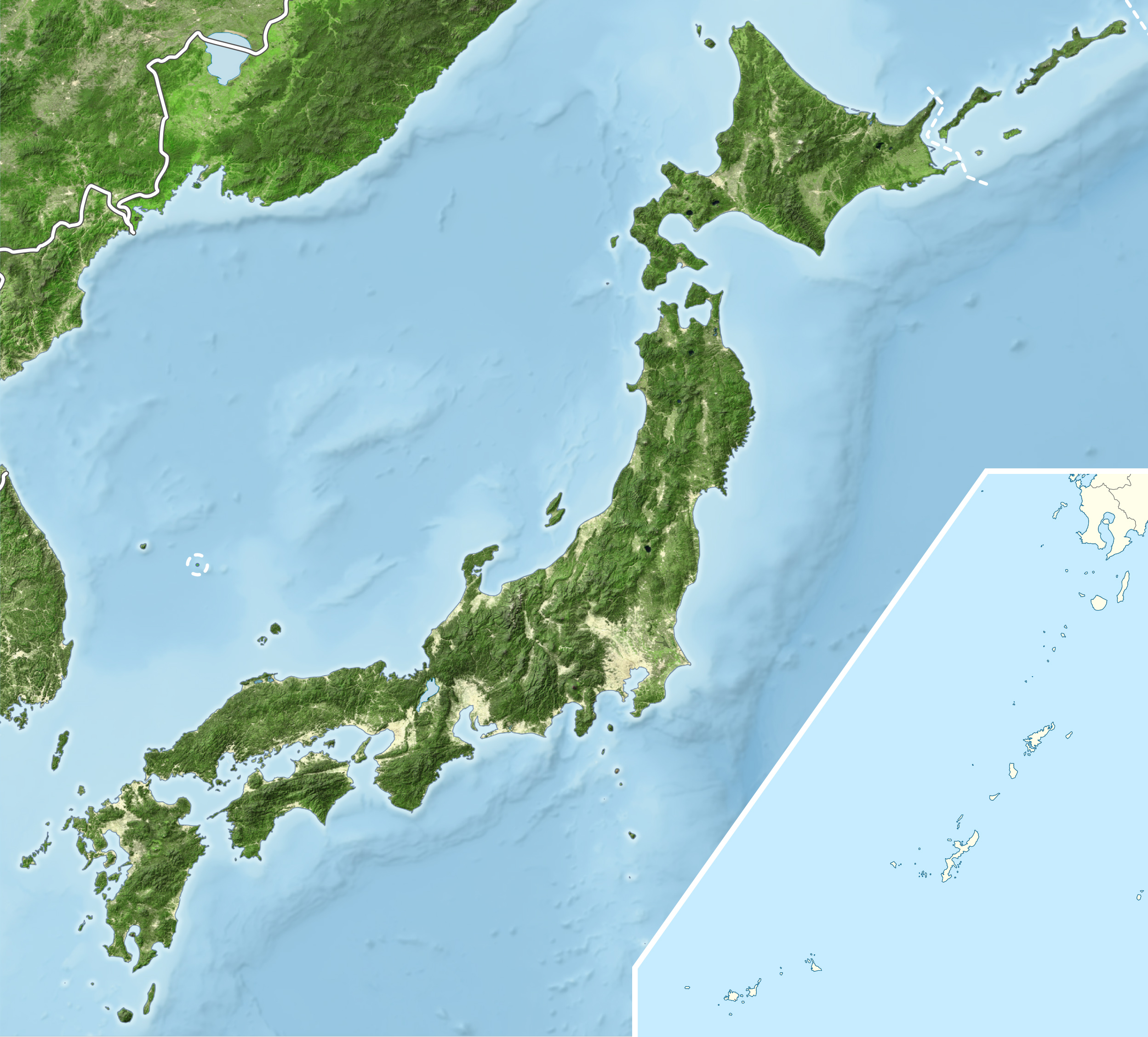
English: Blue Marble Location map of Japan
Equirectangular projection. Geographic limits to locate objects in the main map with the main islands:
Geographic limits to locate objects in the side map with the Ryukyu Islands:
|
||
| កាលបរិច្ឆេទ | |||
| ប្រភព |
|
||
| អ្នកនិពន្ធ | Alexrk2 | ||
| ការអនុញ្ញាត (ប្រើឯកសារនេះឡើងវិញ) |
ឯកសារនេះជាប់អាជ្ញាបណ្ឌCreative Commons Attribution-Share Alike 3.0 Unported។
|
||
| ទំរង់ផ្សេងទៀត |
|


ប្រវត្តិឯកសារ
ចុចលើម៉ោងនិងកាលបរិច្ឆេទដើម្បីមើលឯកសារដែលបានផ្ទុកឡើងនៅពេលនោះ។
| ម៉ោងនិងកាលបរិច្ឆេទ | កូនរូបភាព | វិមាត្រ | អ្នកប្រើប្រាស់ | យោបល់ | |
|---|---|---|---|---|---|
| បច្ចុប្បន្ន | ម៉ោង១៩:៥៥ ថ្ងៃអង្គារ ទី២២ ខែមីនា ឆ្នាំ២០១១ | | ២៤៩៧ × ២២៥៦ (១.៣៨មេកាបៃ) | Alexrk2 | RGB |
| ម៉ោង១៩:០៧ ថ្ងៃអង្គារ ទី២២ ខែមីនា ឆ្នាំ២០១១ |  | ២៤៩៧ × ២២៥៦ (៨៧៨គីឡូបៃ) | Chumwa | RGB mode | |
| ម៉ោង២១:៥៧ ថ្ងៃច័ន្ទ ទី២១ ខែមីនា ឆ្នាំ២០១១ |  | ២៤៩៧ × ២២៥៦ (១.៨៨មេកាបៃ) | Alexrk2 | jpg quality | |
| ម៉ោង២១:០៥ ថ្ងៃច័ន្ទ ទី២១ ខែមីនា ឆ្នាំ២០១១ |  | ២៤៩៧ × ២២៥៦ (១.៨២មេកាបៃ) | Alexrk2 | == {{int:filedesc}} == {{Information |Description= {{en|Blue Marble Location map of Japan Equirectangular projection. Geographic limits to locate objects in the main map with the main islands: * N: 45°51'37" N (45.86°N) * S: 30°01'13" N |
បម្រើបម្រាស់ឯកសារ
ទំព័រ ខាងក្រោមប្រើប្រាស់ឯកសារនេះ ៖
បម្រើបម្រាស់ឯកសារជាសាកល
វីគីដទៃទៀតដូចខាងក្រោមនេះប្រើប្រាស់ឯកសារនេះ៖
- ការប្រើប្រាស់នៅក្នុង ace.wikipedia.org
- ការប្រើប្រាស់នៅក្នុង ar.wikipedia.org
- ការប្រើប្រាស់នៅក្នុង arz.wikipedia.org
- ការប្រើប្រាស់នៅក្នុង ast.wikipedia.org
- ការប្រើប្រាស់នៅក្នុង as.wikipedia.org
- ការប្រើប្រាស់នៅក្នុង azb.wikipedia.org
- ការប្រើប្រាស់នៅក្នុង ban.wikipedia.org
- ការប្រើប្រាស់នៅក្នុង bcl.wikipedia.org
- ការប្រើប្រាស់នៅក្នុង bh.wikipedia.org
- ការប្រើប្រាស់នៅក្នុង bn.wikipedia.org
- ការប្រើប្រាស់នៅក្នុង br.wikipedia.org
- ការប្រើប្រាស់នៅក្នុង bs.wikipedia.org
- ការប្រើប្រាស់នៅក្នុង ca.wikipedia.org
- ការប្រើប្រាស់នៅក្នុង ceb.wikipedia.org
- ការប្រើប្រាស់នៅក្នុង ckb.wikipedia.org
- ការប្រើប្រាស់នៅក្នុង cs.wikipedia.org
- ការប្រើប្រាស់នៅក្នុង da.wikipedia.org
- ការប្រើប្រាស់នៅក្នុង de.wikipedia.org
- ការប្រើប្រាស់នៅក្នុង diq.wikipedia.org
- ការប្រើប្រាស់នៅក្នុង dty.wikipedia.org
View more global usage of this file.