
ឯកសារ:OpenStreetMapTracklogsHedgeEnd.png

ទំហំរបស់ការមើលមុននេះ: ៦១១ × ៦០០ ភីកសែ។ ភាពម៉ត់ផ្សេងទៀត៖ ២៤៥ × ២៤០ ភីកសែ | ៤៨៩ × ៤៨០ ភីកសែ | ៦៤២ × ៦៣០ ភីកសែ។
រូបភាពដើម (៦៤២ × ៦៣០ ភីកសែល ទំហំឯកសារ៖ ១៦គីឡូបៃ ប្រភេទ MIME៖ image/png)
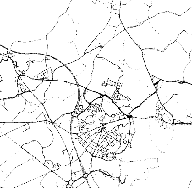
| Description |
This map was created from OpenStreetMap project data, collected by the community. This map may be incomplete, and may contain errors. Don't rely solely on it for navigation. |
| កាលបរិច្ឆេទ | (see file history) |
| ប្រភព | You may find a page on the OpenStreetMap wiki page for Hedge End |
| Creator |
OpenStreetMap contributors |
| ការអនុញ្ញាត (ប្រើឯកសារនេះឡើងវិញ) |
OpenStreetMap data and maps are licensed under the Creative Commons Attribution-ShareAlike 2.0 license (CC-BY-SA 2.0). ឯកសារនេះជាប់អាជ្ញាបណ្ឌCreative Commons Attribution-Share Alike 2.0 Generic។
|
| Georeferencing | If inappropriate please set warp_status = skip to hide. |
ប្រវត្តិឯកសារ
ចុចលើម៉ោងនិងកាលបរិច្ឆេទដើម្បីមើលឯកសារដែលបានផ្ទុកឡើងនៅពេលនោះ។
| ម៉ោងនិងកាលបរិច្ឆេទ | កូនរូបភាព | វិមាត្រ | អ្នកប្រើប្រាស់ | យោបល់ | |
|---|---|---|---|---|---|
| បច្ចុប្បន្ន | ម៉ោង០០:០៩ ថ្ងៃសៅរ៍ ទី៣០ ខែមិថុនា ឆ្នាំ២០០៧ | | ៦៤២ × ៦៣០ (១៦គីឡូបៃ) | Iainf | Adjusted contrast, converted to greyscale, and optimised with optiPNG |
| ម៉ោង១៤:៣៨ ថ្ងៃអាទិត្យ ទី០១ ខែតុលា ឆ្នាំ២០០៦ |  | ៦៤២ × ៦៣០ (២៩គីឡូបៃ) | Ojw~commonswiki | {{openstreetmap}} {{CC-BY-SA 2.0}} |
បម្រើបម្រាស់ឯកសារ
ទំព័រ ខាងក្រោមប្រើប្រាស់ឯកសារនេះ ៖
បម្រើបម្រាស់ឯកសារជាសាកល
វីគីដទៃទៀតដូចខាងក្រោមនេះប្រើប្រាស់ឯកសារនេះ៖
- ការប្រើប្រាស់នៅក្នុង azb.wikipedia.org
- ការប្រើប្រាស់នៅក្នុង da.wikipedia.org
- ការប្រើប្រាស់នៅក្នុង en.wikipedia.org
- ការប្រើប្រាស់នៅក្នុង es.wikipedia.org
- ការប្រើប្រាស់នៅក្នុង he.wikipedia.org
- ការប្រើប្រាស់នៅក្នុង it.wikipedia.org
- ការប្រើប្រាស់នៅក្នុង ja.wikipedia.org
- ការប្រើប្រាស់នៅក្នុង no.wikipedia.org
- ការប្រើប្រាស់នៅក្នុង pt.wikipedia.org
- ការប្រើប្រាស់នៅក្នុង sl.wikipedia.org