
ឯកសារ:Puebla en México.svg

Size of this PNG preview of this SVG file: ៨០០ × ៥៣៦ ភីកសែ. ភាពម៉ត់ផ្សេងទៀត៖ ៣២០ × ២១៥ ភីកសែ | ៦៤០ × ៤២៩ ភីកសែ | ១០២៤ × ៦៨៦ ភីកសែ | ១២៨០ × ៨៥៨ ភីកសែ | ២៥៦០ × ១៧១៦ ភីកសែ | ២៤៩៧ × ១៦៧៤ ភីកសែ។
រូបភាពដើម (ឯកសារប្រភេទSVG ២៤៩៧ × ១៦៧៤ ភីកសែល ទំហំឯកសារ៖ ៣២១គីឡូបៃ)
| ការពិពណ៌នា |
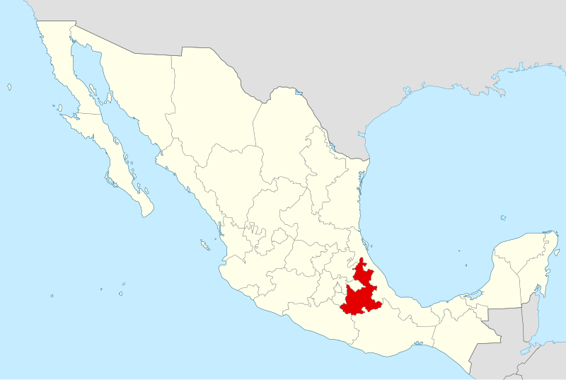
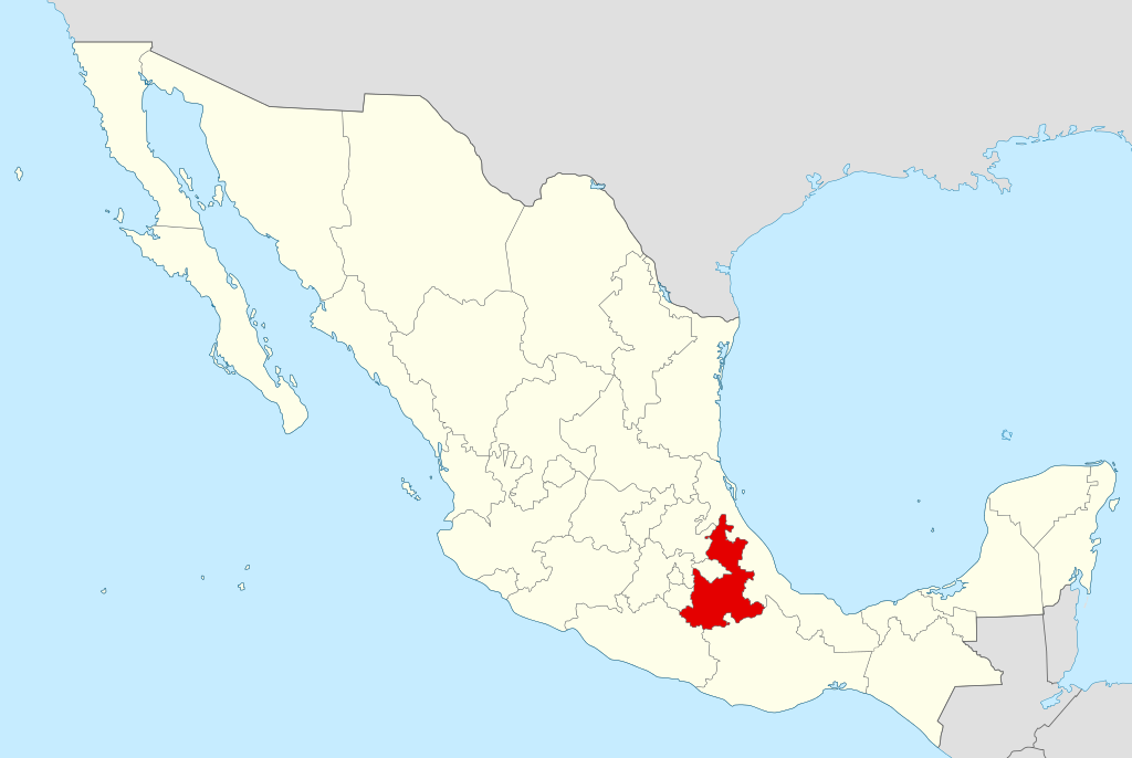
Español: Ubicación del estado de Puebla en la República Mexicana |
||
| កាលបរិច្ឆេទ | |||
| ប្រភព | ការងារផ្ទាល់របស់អ្នកផ្ទុកឡើង | ||
| អ្នកនិពន្ធ | Yavidaxiu | ||
| ការអនុញ្ញាត (ប្រើឯកសារនេះឡើងវិញ) |
|
ប្រវត្តិឯកសារ
ចុចលើម៉ោងនិងកាលបរិច្ឆេទដើម្បីមើលឯកសារដែលបានផ្ទុកឡើងនៅពេលនោះ។
| ម៉ោងនិងកាលបរិច្ឆេទ | កូនរូបភាព | វិមាត្រ | អ្នកប្រើប្រាស់ | យោបល់ | |
|---|---|---|---|---|---|
| បច្ចុប្បន្ន | ម៉ោង១៣:០៩ ថ្ងៃអាទិត្យ ទី១២ ខែឧសភា ឆ្នាំ២០១៣ | | ២៤៩៧ × ១៦៧៤ (៣២១គីឡូបៃ) | El Comandante | Reverted to version as of 20:53, 12 January 2011 : color normalisation (cf. the other maps of the Category:SVG_maps_of_Mexico, such as File:Map of Mexico BCN.svg |
| ម៉ោង២១:០៦ ថ្ងៃព្រហស្បតិ៍ ទី០៩ ខែឧសភា ឆ្នាំ២០១៣ |  | ៩៧៤ × ៦៥៣ (២១៨គីឡូបៃ) | Giggette | Reverted to version as of 00:33, 21 April 2007 | |
| ម៉ោង២១:០៤ ថ្ងៃព្រហស្បតិ៍ ទី០៩ ខែឧសភា ឆ្នាំ២០១៣ |  | ៩៧៤ × ៦៥៣ (២៦២គីឡូបៃ) | Giggette | Reverted to version as of 00:52, 21 April 2007 estilo y forma como los demás | |
| ម៉ោង២០:៥៣ ថ្ងៃពុធ ទី១២ ខែមករា ឆ្នាំ២០១១ |  | ២៤៩៧ × ១៦៧៤ (៣២១គីឡូបៃ) | Yavidaxiu | Líneas sobrantes | |
| ម៉ោង២០:៣៨ ថ្ងៃពុធ ទី១២ ខែមករា ឆ្នាំ២០១១ |  | ២៥០០ × ១៦៧៧ (៣២១គីឡូបៃ) | Yavidaxiu | Normalización de colores | |
| ម៉ោង១៤:៤៩ ថ្ងៃពុធ ទី២៩ ខែកញ្ញា ឆ្នាំ២០១០ |  | ៩៧៤ × ៦៥៣ (២៧៦គីឡូបៃ) | Yavidaxiu | Color y bordes | |
| ម៉ោង០០:៥២ ថ្ងៃសៅរ៍ ទី២១ ខែមេសា ឆ្នាំ២០០៧ |  | ៩៧៤ × ៦៥៣ (២៦២គីឡូបៃ) | Yavidaxiu | ||
| ម៉ោង០០:៣៣ ថ្ងៃសៅរ៍ ទី២១ ខែមេសា ឆ្នាំ២០០៧ |  | ៩៧៤ × ៦៥៣ (២១៨គីឡូបៃ) | Yavidaxiu | ||
| ម៉ោង០០:៣០ ថ្ងៃសៅរ៍ ទី២១ ខែមេសា ឆ្នាំ២០០៧ |  | ៩៧៤ × ៦៥៣ (២១៨គីឡូបៃ) | Yavidaxiu | {{Information |Description={{es|Ubicación del estado de Puebla en la República Mexicana}} |Source= Trabajo propio |Date= 20 de abril de 2007 |Author= Yavidaxiu |Permission= {{PD-self}} |other_versions= }} Category:Maps of Puebla [[Category:Maps of |
បម្រើបម្រាស់ឯកសារ
ទំព័រ ខាងក្រោមប្រើប្រាស់ឯកសារនេះ ៖
បម្រើបម្រាស់ឯកសារជាសាកល
វីគីដទៃទៀតដូចខាងក្រោមនេះប្រើប្រាស់ឯកសារនេះ៖
- ការប្រើប្រាស់នៅក្នុង af.wikipedia.org
- ការប្រើប្រាស់នៅក្នុង an.wikipedia.org
- ការប្រើប្រាស់នៅក្នុង cy.wikipedia.org
- ការប្រើប្រាស់នៅក្នុង el.wikipedia.org
- ការប្រើប្រាស់នៅក្នុង en.wikipedia.org
- Popocatépetl
- Cholula, Puebla
- Puebla
- Pico de Orizaba
- Atlixco
- Tehuacán
- Santo Tomás Hueyotlipan
- Malinche (volcano)
- San Gabriel Chilac
- Aljojuca
- Morelos Cañada
- Chinantla
- Acatlán de Osorio
- Ahuacatlán Municipality, Puebla
- Amozoc de Mota
- San Martín Texmelucan
- Izúcar de Matamoros
- La Mixteca
- Tetela de Ocampo
- Huaquechula
- Template:Puebla-geo-stub
- San Bernardo, Puebla
- San Bernardino Lagunas
- Wikipedia:WikiProject Mexico/State templates
- Template:Puebla
- Guadalupe Victoria, Puebla
- Vicente Guerrero, Puebla
- La Malinche National Park
- Chiautla de Tapia
- Ajalpan
- Acajete Municipality, Puebla
- Ciudad Serdán
- Acateno
- Acatzingo
- Acteopan
- Ahuatlán
- Ahuazotepec
- Ahuehuetitla
- Ajalpan Municipality
- Albino Zertuche
- Altepexi
- Amixtlán
- Amozoc Municipality
- Aquixtla
- Atempan
- Atexcal
View more global usage of this file.