
ឯកសារ:South Korea location map.svg

Size of this PNG preview of this SVG file: ៦៣៥ × ៥៩៩ ភីកសែ. ភាពម៉ត់ផ្សេងទៀត៖ ២៥៤ × ២៤០ ភីកសែ | ៥០៩ × ៤៨០ ភីកសែ | ៨១៤ × ៧៦៨ ភីកសែ | ១០៨៥ × ១០២៤ ភីកសែ | ២១៧១ × ២០៤៨ ភីកសែ | ១៧៧២ × ១៦៧២ ភីកសែ។
រូបភាពដើម (ឯកសារប្រភេទSVG ១៧៧២ × ១៦៧២ ភីកសែល ទំហំឯកសារ៖ ៣៧៦គីឡូបៃ)
ចំណារពន្យល់
| ការពិពណ៌នា |
Deutsch: Positionskarte von Südkorea
Quadratische Plattkarte, N-S-Streckung 120 %. Geographische Begrenzung der Karte:
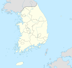
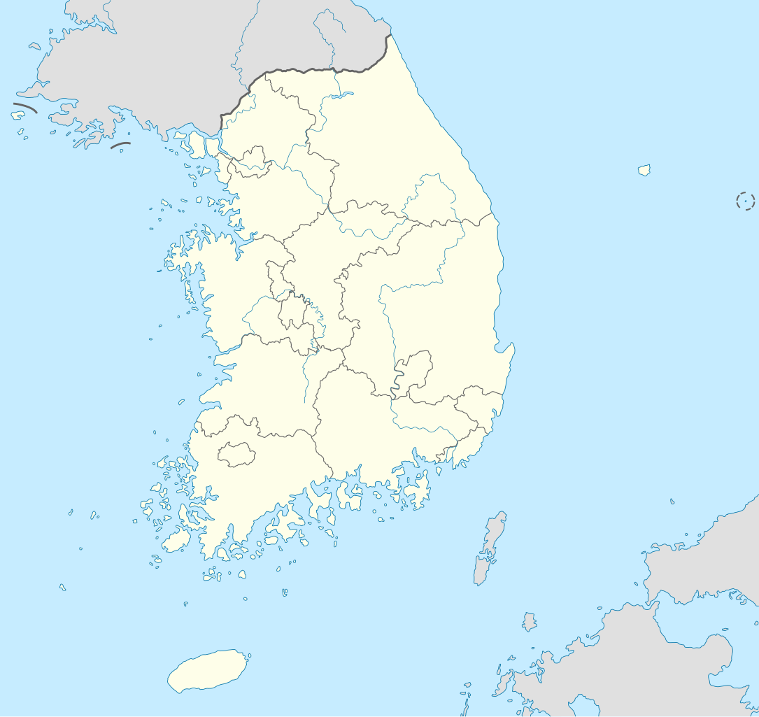
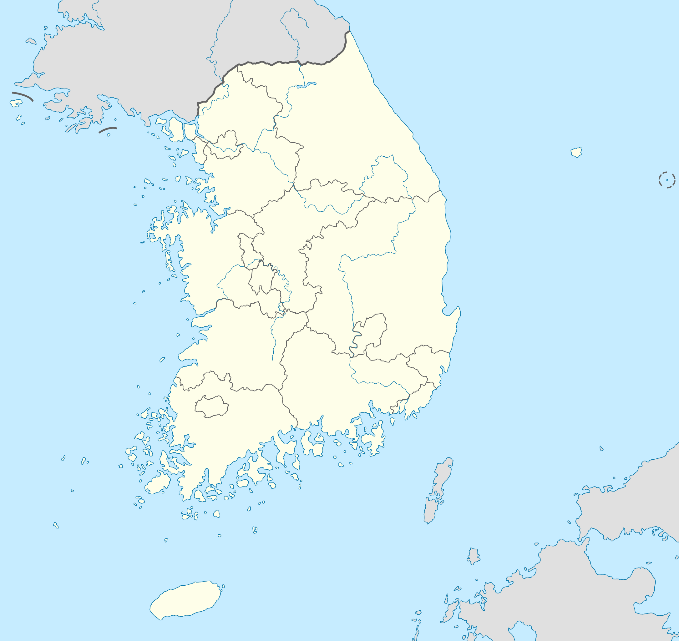
English: Location map of South Korea
Equirectangular projection, N/S stretching 120 %. Geographic limits of the map:
|
||
| កាលបរិច្ឆេទ | |||
| ប្រភព |
own work, using
|
||
| អ្នកនិពន្ធ | NordNordWest | ||
| ទំរង់ផ្សេងទៀត |
Derivative works of this file: |
||
| SVG genesis | រូបភាពក្រាភិកវ៉ិចទ័រនេះត្រូវបានបង្កើតឡើងដោយប្រើ Adobe Illustrator.
|

ការដាក់អាជ្ញាប័ណ្ណ
I, the copyright holder of this work, hereby publish it under the following licenses:

|
រូបភាពនៃទំព័រនេះជាកម្មសិទ្ធិរបស់GNU Free Documentation License។ Version 1.2 ឬក៏ខ្ពស់ជាងនេះត្រូវបានឧបត្ថមគាំទ្រដោយ មូលនិធិសូហ្វវែរដោយឥតគិតថ្លៃ (Free Software Foundation) ដែលមិនមានផ្នែកណាមួយរបស់ប្រភពដើមរួមទាំងអក្សរនៅលើគំរបមុខនិងខ្នង ត្រូវបានផ្លាស់ប្តូរទេ។ ចំពោះផ្នែកដែលមិនអាចផ្លាស់ប្តូរបាន សូមមើលGNU Free Documentation License។ |
ឯកសារនេះជាប់អាជ្ញាបណ្ឌCreative Commons Attribution-Share Alike 3.0 Unported។
- អ្នកមានសិទ្ធិ៖
- ចែកចាយ – ថតចំលងនិងចែកចាយស្នាដៃនេះ
- កែច្នៃ – កែច្នៃយកទៅប្រើ
- ក្រោមលក្ខខណ្ឌដូចតទៅនេះ៖
- ភាពជាម្ចាស់កម្មសិទ្ធ – You must give appropriate credit, provide a link to the license, and indicate if changes were made. You may do so in any reasonable manner, but not in any way that suggests the licensor endorses you or your use.
- share alike – If you remix, transform, or build upon the material, you must distribute your contributions under the same or compatible license as the original.
You may select the license of your choice.
ប្រវត្តិឯកសារ
ចុចលើម៉ោងនិងកាលបរិច្ឆេទដើម្បីមើលឯកសារដែលបានផ្ទុកឡើងនៅពេលនោះ។
| ម៉ោងនិងកាលបរិច្ឆេទ | កូនរូបភាព | វិមាត្រ | អ្នកប្រើប្រាស់ | យោបល់ | |
|---|---|---|---|---|---|
| បច្ចុប្បន្ន | ម៉ោង១០:៤៨ ថ្ងៃសៅរ៍ ទី០២ ខែមិថុនា ឆ្នាំ២០១២ | | ១៧៧២ × ១៦៧២ (៣៧៦គីឡូបៃ) | Geoarchive | Update Sejong Special Autonomous City |
| ម៉ោង១៧:៤៨ ថ្ងៃអាទិត្យ ទី២៤ ខែតុលា ឆ្នាំ២០១០ |  | ១៧៧២ × ១៦៧២ (៣៧៧គីឡូបៃ) | NordNordWest | upd | |
| ម៉ោង២០:០៥ ថ្ងៃសៅរ៍ ទី០២ ខែតុលា ឆ្នាំ២០១០ |  | ១៥៥៩ × ១៦៧២ (៣៤៩គីឡូបៃ) | NordNordWest | upd | |
| ម៉ោង១៨:៥៧ ថ្ងៃអង្គារ ទី២៦ ខែសីហា ឆ្នាំ២០០៨ |  | ១៥៥៩ × ១៦៧៣ (៥០២គីឡូបៃ) | NordNordWest | {{Information |Description= {{de|Positionskarte von Südkorea}} Quadratische Plattkarte, N-S-Streckung 120 %. Geographische Begrenzung der Karte: * N: 38.9° N * S: 33.0° N * W: 124.5° O * O: 131.1° O {{en|Location map of [[:en:South |
បម្រើបម្រាស់ឯកសារ
គ្មានទំព័រណាមួយដែលប្រើប្រាស់ឯកសារនេះទេ។
បម្រើបម្រាស់ឯកសារជាសាកល
វីគីដទៃទៀតដូចខាងក្រោមនេះប្រើប្រាស់ឯកសារនេះ៖
- ការប្រើប្រាស់នៅក្នុង as.wikipedia.org
- ការប្រើប្រាស់នៅក្នុង en.wikipedia.org
- ការប្រើប្រាស់នៅក្នុង fr.wikipedia.org
- ការប្រើប្រាស់នៅក្នុង fr.wikinews.org
- ការប្រើប្រាស់នៅក្នុង incubator.wikimedia.org
- ការប្រើប្រាស់នៅក្នុង ko.wikipedia.org
- ការប្រើប្រាស់នៅក្នុង sv.wikipedia.org
- ការប្រើប្រាស់នៅក្នុង zh.wikipedia.org