
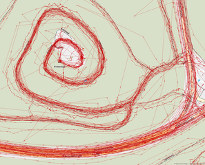
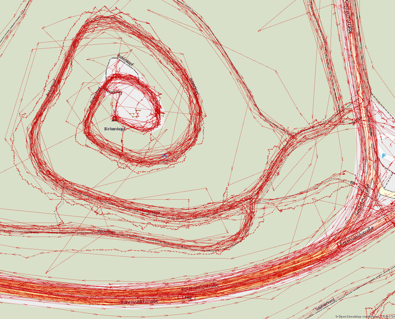
ឯកសារ:Tracks around the Birkenkopf.png

ទំហំរបស់ការមើលមុននេះ: ៧៤២ × ៥៩៩ ភីកសែ។ ភាពម៉ត់ផ្សេងទៀត៖ ២៩៧ × ២៤០ ភីកសែ | ៥៩៤ × ៤៨០ ភីកសែ | ៩៥១ × ៧៦៨ ភីកសែ | ១២៦៨ × ១០២៤ ភីកសែ | ១៣០០ × ១០៥០ ភីកសែ។
រូបភាពដើម (១៣០០ × ១០៥០ ភីកសែល ទំហំឯកសារ៖ ៤៦៧គីឡូបៃ ប្រភេទ MIME៖ image/png)
ចំណារពន្យល់
| ការពិពណ៌នា |
English: Varying accuracy in a collection of GPS Tracks around the Birkenkopf in Stuttgart (Germany) |
| កាលបរិច្ឆេទ | |
| ប្រភព | The GPS traces and the data for the Hike & Bike Map in the background come from the contributors of the OpenStreetMap project |
| អ្នកនិពន្ធ | Nachttischlampe |
| ការអនុញ្ញាត (ប្រើឯកសារនេះឡើងវិញ) |
ឯកសារនេះជាប់អាជ្ញាបណ្ឌCreative Commons Attribution-Share Alike 2.0 Generic។ ភាពជាម្ចាស់កម្មសិទ្ធ: © OpenStreetMap contributors, CC-BY-SA
|
| Object location | | រូបភាពនេះនិងរូបភាពផ្សេងទៀតនៅឯទីតាំងរបស់វាលើ: OpenStreetMap |
|---|
ប្រវត្តិឯកសារ
ចុចលើម៉ោងនិងកាលបរិច្ឆេទដើម្បីមើលឯកសារដែលបានផ្ទុកឡើងនៅពេលនោះ។
| ម៉ោងនិងកាលបរិច្ឆេទ | កូនរូបភាព | វិមាត្រ | អ្នកប្រើប្រាស់ | យោបល់ | |
|---|---|---|---|---|---|
| បច្ចុប្បន្ន | ម៉ោង១១:២០ ថ្ងៃអង្គារ ទី២៤ ខែមេសា ឆ្នាំ២០១២ | | ១៣០០ × ១០៥០ (៤៦៧គីឡូបៃ) | Nachttischlampe | Better balance between tracks and map. Let's hope it scales down nicely as well. |
| ម៉ោង១១:១៥ ថ្ងៃអង្គារ ទី២៤ ខែមេសា ឆ្នាំ២០១២ |  | ១២៥៩ × ១០៤៥ (២៤៣គីឡូបៃ) | Nachttischlampe | Reverted to version as of 20:34, 21 April 2012, tracks not visible enough any more. (I'm trying to get a feeling for the scaling algorithm used here) | |
| ម៉ោង១១:០៨ ថ្ងៃអង្គារ ទី២៤ ខែមេសា ឆ្នាំ២០១២ |  | ១៣០០ × ១០៥៣ (៤៧២គីឡូបៃ) | Nachttischlampe | Paths and highways on the underlying map are more visible. | |
| ម៉ោង២០:៣៤ ថ្ងៃសៅរ៍ ទី២១ ខែមេសា ឆ្នាំ២០១២ |  | ១២៥៩ × ១០៤៥ (២៤៣គីឡូបៃ) | Nachttischlampe |
បម្រើបម្រាស់ឯកសារ
ទំព័រ ខាងក្រោមប្រើប្រាស់ឯកសារនេះ ៖
បម្រើបម្រាស់ឯកសារជាសាកល
វីគីដទៃទៀតដូចខាងក្រោមនេះប្រើប្រាស់ឯកសារនេះ៖
- ការប្រើប្រាស់នៅក្នុង de.wikipedia.org