
ឯកសារ:US Locator Blank.svg

Size of this PNG preview of this SVG file: ២៨៦ × ១៨៦ ភីកសែ. ភាពម៉ត់ផ្សេងទៀត៖ ៣២០ × ២០៨ ភីកសែ | ៦៤០ × ៤១៦ ភីកសែ | ១០២៤ × ៦៦៦ ភីកសែ | ១២៨០ × ៨៣២ ភីកសែ | ២៥៦០ × ១៦៦៥ ភីកសែ។
រូបភាពដើម (ឯកសារប្រភេទSVG ២៨៦ × ១៨៦ ភីកសែល ទំហំឯកសារ៖ ១៣៧គីឡូបៃ)
Clickable version
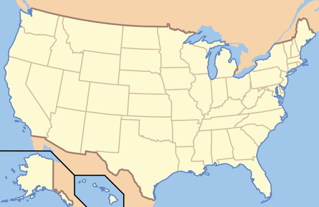
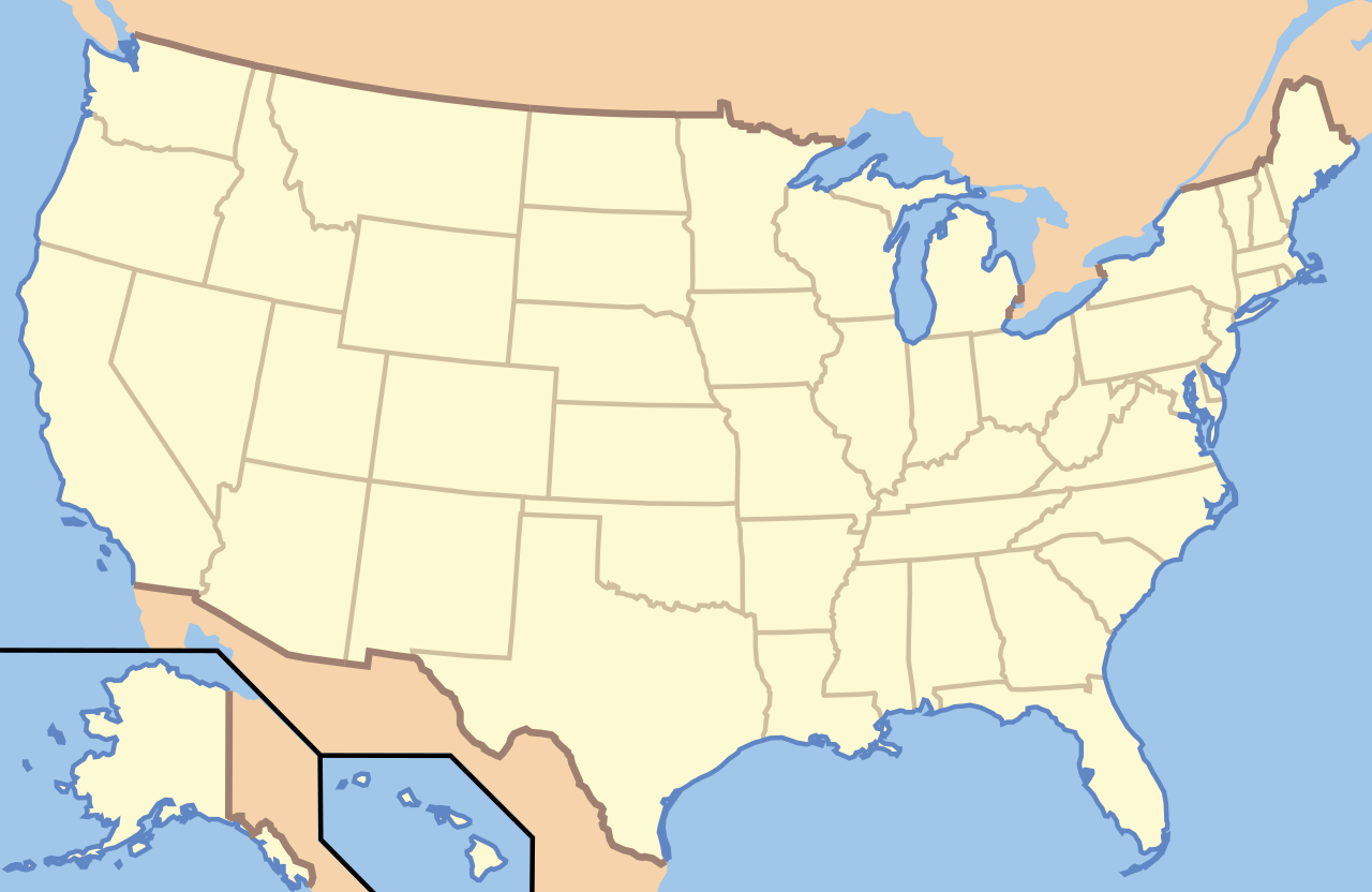
| ការពិពណ៌នា | This image is abstracted from Image:Map_of_USA_with_state_names.svg (GFDL). | ||||||||
| កាលបរិច្ឆេទ | |||||||||
| ប្រភព | based on Image:Map of USA without state names.svg | ||||||||
| អ្នកនិពន្ធ |
Originally uploaded English Wikipedia by en:User:Papayoung and en:User:Ilmari Karonen. Base versions this one is derived from: originally created by en:User:Wapcaplet |
||||||||
| ការអនុញ្ញាត (ប្រើឯកសារនេះឡើងវិញ) |
|

| Object location | | រូបភាពនេះនិងរូបភាពផ្សេងទៀតនៅឯទីតាំងរបស់វាលើ: OpenStreetMap |
|---|
| Annotations | This image is annotated: View the annotations at Commons |
ប្រវត្តិឯកសារ
ចុចលើម៉ោងនិងកាលបរិច្ឆេទដើម្បីមើលឯកសារដែលបានផ្ទុកឡើងនៅពេលនោះ។
| ម៉ោងនិងកាលបរិច្ឆេទ | កូនរូបភាព | វិមាត្រ | អ្នកប្រើប្រាស់ | យោបល់ | |
|---|---|---|---|---|---|
| បច្ចុប្បន្ន | ម៉ោង០០:៥៧ ថ្ងៃច័ន្ទ ទី២១ ខែមិថុនា ឆ្នាំ២០១០ | | ២៨៦ × ១៨៦ (១៣៧គីឡូបៃ) | Ras67 | frame removed |
| ម៉ោង១៣:១៤ ថ្ងៃសុក្រ ទី០៥ ខែមករា ឆ្នាំ២០០៧ |  | ២៨៦ × ១៨៦ (១៦៧គីឡូបៃ) | EDUCA33E | Rétablissement de la version précédente | |
| ម៉ោង១៣:០៧ ថ្ងៃសុក្រ ទី០៥ ខែមករា ឆ្នាំ២០០៧ |  | ២៨៦ × ១៨៦ (៩៧គីឡូបៃ) | EDUCA33E | (same but 98 ko) | |
| ម៉ោង០៧:៥៨ ថ្ងៃច័ន្ទ ទី០៦ ខែមីនា ឆ្នាំ២០០៦ |  | ២៨៦ × ១៨៦ (១៦៧គីឡូបៃ) | Itsmine | == Summary == This image is abstracted from Image:Map_of_USA_with_state_names.svg (GFDL). Originally uploaded English Wikipedia by en:User:Papayoung and en:User:Ilmari Karonen. <div style="border: 1px solid #F66; padding: 1em;">'''Please |
បម្រើបម្រាស់ឯកសារ
4 ទំព័រ ខាងក្រោមប្រើប្រាស់ឯកសារនេះ ៖
បម្រើបម្រាស់ឯកសារជាសាកល
វីគីដទៃទៀតដូចខាងក្រោមនេះប្រើប្រាស់ឯកសារនេះ៖
- ការប្រើប្រាស់នៅក្នុង ab.wikipedia.org
- ការប្រើប្រាស់នៅក្នុង af.wikipedia.org
- ការប្រើប្រាស់នៅក្នុង ar.wikipedia.org
- متنزه يلوستون الوطني
- متنزه يوسيميتي الوطني
- متنزه صهيون الوطني
- قالب:Superimpose
- قالب:Superimpose/شرح
- كهف الماموث
- حديقة جبل رينييه
- متنزه وادي الموت الوطني
- قالب:صندوق معلومات منطقة محمية/شرح
- قالب:صندوق معلومات منطقة محمية
- قائمة حدائق الولايات المتحدة الوطنية
- حديقة أكاديا الوطنية
- حديقة الأقواس الوطنية
- حديقة أمريكان ساموا الوطنية
- حديقة بادلاندز الوطنية
- الحديقة الوطنية الجليدية
- محمية ومتنزه بوابات القطب الشمالي الوطنية
- متنزه ومحمية رانجيل-سانت إلياس الطبيعية الوطنية
- برايس كانيون
- محمية ميسا فيردي الوطنية
- متنزه الأخدود العظيم الوطني
- حديقة إيفرغلاديس الوطنية
- حدائق ريدوود الوطنية والحكومية
- حديقة جبال غريت سموكي الوطنية
- حديقة كهوف كارلسباد الوطنية
- حديقة براكين هاواي الوطنية
- متنزه غراند تيتون الوطني
- المتنزه الأولمبي الوطني
- حديقة هاليكالا الوطنية
- حديقة شجرة جوشوا الوطنية
- قالب:المتنزهات الوطنية في خريطة الولايات المتحدة الأمريكية
- قالب:الحدائق الوطنية في الولايات المتحدة
- قالب:صندوق معلومات منطقة محمية/ملعب
- حديقة بيغ بند الوطنية
- منتزه ساغوارو الوطني
- حديقة بيسكين الوطنية
- حديقة غنيسون الأسود
- منتزه شمال كاسكيدز الوطني
- حديقة كهف الرياح الوطنية
- متنزه جزر القناة الوطني
- متنزه غريت باسين الوطني
- متنزه كانيونلاندز الوطني
- حديقة شيناندوا الوطنية
- خليج ومحمية غليسر الوطنية
- حديقة فوياجرز الوطنية
- حديقة هوت سبرينغس الوطنية
View more global usage of this file.