
ឯកសារ:Canada (geolocalisation).svg

Size of this PNG preview of this SVG file: ៧០៦ × ៥៩៩ ភីកសែ. ភាពម៉ត់ផ្សេងទៀត៖ ២៨៣ × ២៤០ ភីកសែ | ៥៦៦ × ៤៨០ ភីកសែ | ៩០៥ × ៧៦៨ ភីកសែ | ១២០៧ × ១០២៤ ភីកសែ | ២៤១៣ × ២០៤៨ ភីកសែ | ១០៨៤ × ៩២០ ភីកសែ។
រូបភាពដើម (ឯកសារប្រភេទSVG ១០៨៤ × ៩២០ ភីកសែល ទំហំឯកសារ៖ ៩៤គីឡូបៃ)
.svg)
| ការពិពណ៌នា |
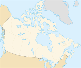
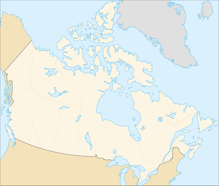
English: cropped version of Image:Carte administrative du Canada.svg for map location. (Lambert conformal conic projection from The Atlas of Canada) |
| កាលបរិច្ឆេទ | |
| ប្រភព | Image:Carte administrative du Canada.png. |
| អ្នកនិពន្ធ | STyx |
| ការអនុញ្ញាត (ប្រើឯកសារនេះឡើងវិញ) |
This file is licensed under the Creative Commons Attribution-Share Alike Attribution-Share Alike 4.0 International, 3.0 Unported, 2.5 Generic, 2.0 Generic and 1.0 Generic license.
|
| ទំរង់ផ្សេងទៀត |
Derivative works of this file: |
Locations
Le cadrage est x=80px, y=166px, height=920, width=1084. Quelques positions :
| x | y | |
| pôle Nord | 475.5 | -159.5 |
| Alert | 565 | 9 |
| Vancouver | 77 | 678 |
| Montréal | 807 | 798 |
| Winnipeg | 442 | 753 |
| Iqaluit | 718 | 396 |
ប្រវត្តិឯកសារ
ចុចលើម៉ោងនិងកាលបរិច្ឆេទដើម្បីមើលឯកសារដែលបានផ្ទុកឡើងនៅពេលនោះ។
| ម៉ោងនិងកាលបរិច្ឆេទ | កូនរូបភាព | វិមាត្រ | អ្នកប្រើប្រាស់ | យោបល់ | |
|---|---|---|---|---|---|
| បច្ចុប្បន្ន | ម៉ោង០១:៤៨ ថ្ងៃពុធ ទី០៧ ខែកុម្ភៈ ឆ្នាំ២០០៧ | | ១០៨៤ × ៩២០ (៩៤គីឡូបៃ) | STyx | retouche mineure |
| ម៉ោង០១:៤១ ថ្ងៃពុធ ទី០៧ ខែកុម្ភៈ ឆ្នាំ២០០៧ |  | ១០៨៤ × ៩២០ (៩៤គីឡូបៃ) | STyx | {{Created with Inkscape}} {{Information |Description= *{{fr}} Version recadrée et épurée de Image:Carte administrative du Canada.svg pour la géolocation du Canada. Le cadrage est x=80px, y=166px, height=920, width=1084. Quelques positions : <cent |
បម្រើបម្រាស់ឯកសារ
គ្មានទំព័រណាមួយដែលប្រើប្រាស់ឯកសារនេះទេ។
បម្រើបម្រាស់ឯកសារជាសាកល
វីគីដទៃទៀតដូចខាងក្រោមនេះប្រើប្រាស់ឯកសារនេះ៖
- ការប្រើប្រាស់នៅក្នុង de.wikipedia.org
- ការប្រើប្រាស់នៅក្នុង fr.wikipedia.org
.svg)