
ឯកសារ:China edcp relief location map.jpg

ទំហំរបស់ការមើលមុននេះ: ៧៥៣ × ៦០០ ភីកសែ។ ភាពម៉ត់ផ្សេងទៀត៖ ៣០២ × ២៤០ ភីកសែ | ៦០៣ × ៤៨០ ភីកសែ | ៩៦៥ × ៧៦៨ ភីកសែ | ១២៨០ × ១០១៩ ភីកសែ | ១៩៦៨ × ១៥៦៧ ភីកសែ។
រូបភាពដើម (១៩៦៨ × ១៥៦៧ ភីកសែល ទំហំឯកសារ៖ ៥៦២គីឡូបៃ ប្រភេទ MIME៖ image/jpeg)
ចំណារពន្យល់
| ការពិពណ៌នា |
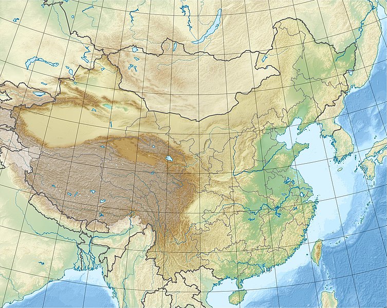
English: Location map of China.
EquiDistantConicProjection : Central parallel : * N: 36.0° N Central meridian : * E: 104.0° E Standard parallels : * 1: 30.0° N * 2: 42.0° N Latitudes on the central meridian : * top: 57.0° N * center: 37.29° N * bottom: 17.96° NMade with Natural Earth. Free vector and raster map data @ naturalearthdata.com. |
| កាលបរិច្ឆេទ | |
| ប្រភព | ការងារផ្ទាល់របស់អ្នកផ្ទុកឡើង |
| អ្នកនិពន្ធ | Uwe Dedering |
| ទំរង់ផ្សេងទៀត |
|


Derivative works of this file: China edcp relief location map Sichuan.png
ការដាក់អាជ្ញាប័ណ្ណ
I, the copyright holder of this work, hereby publish it under the following licenses:
ឯកសារនេះជាប់អាជ្ញាបណ្ឌCreative Commons Attribution-Share Alike 3.0 Unported។
- អ្នកមានសិទ្ធិ៖
- ចែកចាយ – ថតចំលងនិងចែកចាយស្នាដៃនេះ
- កែច្នៃ – កែច្នៃយកទៅប្រើ
- ក្រោមលក្ខខណ្ឌដូចតទៅនេះ៖
- ភាពជាម្ចាស់កម្មសិទ្ធ – You must give appropriate credit, provide a link to the license, and indicate if changes were made. You may do so in any reasonable manner, but not in any way that suggests the licensor endorses you or your use.
- share alike – If you remix, transform, or build upon the material, you must distribute your contributions under the same or compatible license as the original.

|
រូបភាពនៃទំព័រនេះជាកម្មសិទ្ធិរបស់GNU Free Documentation License។ Version 1.2 ឬក៏ខ្ពស់ជាងនេះត្រូវបានឧបត្ថមគាំទ្រដោយ មូលនិធិសូហ្វវែរដោយឥតគិតថ្លៃ (Free Software Foundation) ដែលមិនមានផ្នែកណាមួយរបស់ប្រភពដើមរួមទាំងអក្សរនៅលើគំរបមុខនិងខ្នង ត្រូវបានផ្លាស់ប្តូរទេ។ ចំពោះផ្នែកដែលមិនអាចផ្លាស់ប្តូរបាន សូមមើលGNU Free Documentation License។ |
You may select the license of your choice.
ប្រវត្តិឯកសារ
ចុចលើម៉ោងនិងកាលបរិច្ឆេទដើម្បីមើលឯកសារដែលបានផ្ទុកឡើងនៅពេលនោះ។
| ម៉ោងនិងកាលបរិច្ឆេទ | កូនរូបភាព | វិមាត្រ | អ្នកប្រើប្រាស់ | យោបល់ | |
|---|---|---|---|---|---|
| បច្ចុប្បន្ន | ម៉ោង១១:៤៧ ថ្ងៃពុធ ទី០៣ ខែមីនា ឆ្នាំ២០១០ | | ១៩៦៨ × ១៥៦៧ (៥៦២គីឡូបៃ) | Uwe Dedering | {{Information |Description={{en|1=Location map of China. EquiDistantConicProjection. Center: * N: 36.0° N * E: 104.0° E Standard parallels: * 1: 30.0° E * 2: 42.0° E Made with Natural Earth. Free vector and raster map data @ naturalearthdata.com. |
បម្រើបម្រាស់ឯកសារ
ទំព័រ ខាងក្រោមប្រើប្រាស់ឯកសារនេះ ៖
បម្រើបម្រាស់ឯកសារជាសាកល
វីគីដទៃទៀតដូចខាងក្រោមនេះប្រើប្រាស់ឯកសារនេះ៖
- ការប្រើប្រាស់នៅក្នុង ace.wikipedia.org
- ការប្រើប្រាស់នៅក្នុង als.wikipedia.org
- ការប្រើប្រាស់នៅក្នុង am.wikipedia.org
- ការប្រើប្រាស់នៅក្នុង ar.wikipedia.org
- ការប្រើប្រាស់នៅក្នុង arz.wikipedia.org
- ការប្រើប្រាស់នៅក្នុង ast.wikipedia.org
- ការប្រើប្រាស់នៅក្នុង az.wikipedia.org
- Himalay
- Sarı dəniz
- Tyanşan
- Şensi zəlzələsi (1556)
- Everest
- Qansuda zəlzələ
- Panjin çimərliyi
- Şablon:Yer xəritəsi Çin
- Şərqi Çin dənizi
- Tanşan zəlzələsi (1976)
- Ludyan zəlzələsi (2014)
- Tayvan boğazı
- Haynan boğazı
- Qərbi Koreya körfəzi
- Leyçjoubandao yarımadası
- Üç dərə SES
- Haynan
- Kukunor
- Dumtinxu
- Xanka gölü
- Təkləməkan
- Qobi
- Qaşun Qobisi
- Cunqariya
- Tibet yaylası
- Jexe yaylası
- Böyük Ussurskiy
- Üç paralel çay
- Damansk adası
- Alaşan
- Hami səhrası
- Kubuqi
- Ordos
- Mu-Us
- Tenqer (səhra)
- Badın-Jaran
- Dzosotın-Elisun
- Çaydam
- Qanqdis
View more global usage of this file.