
ឯកសារ:Europe location.png

ទំហំរបស់ការមើលមុននេះ: ៨០០ × ៦០០ ភីកសែ។ ភាពម៉ត់ផ្សេងទៀត៖ ៣២០ × ២៤០ ភីកសែ | ៦៤០ × ៤៨០ ភីកសែ | ១០២៤ × ៧៦៨ ភីកសែ | ១២៨០ × ៩៦០ ភីកសែ | ១៦០០ × ១២០០ ភីកសែ។
រូបភាពដើម (១៦០០ × ១២០០ ភីកសែល ទំហំឯកសារ៖ ៤២០គីឡូបៃ ប្រភេទ MIME៖ image/png)

|
រូបភាព locator mapនេះ គួរតែបង្កើតឡើងវិញដោយប្រើក្រាភិកវ៉ិចទ័រ ដែលជាប្រភេទហ្វាល់ SVG ។ ការបង្កើតរូបភាពជាហ្វាល់ SVG ផ្តល់នូវអត្ថប្រយោជន៍ជាច្រើន។ ចំពោះព័ត៌មានបន្ថែម សូមមើល Commons:Media for cleanup ។ ប្រសិនបើទំរង់ SVG នៃរូបភាពនេះត្រូវបានបង្កើតរួចរាល់ហើយ សូមអាប់ឡូដវា។ បន្ទាប់ពីអាប់ឡូដជាទំរង់ SVG សូមជំនួសទំព័រគំរូនេះដោយ {{vector version available|ឈ្មោះរូបភាពថ្មី.svg}} ។
|
| ការពិពណ៌នា |
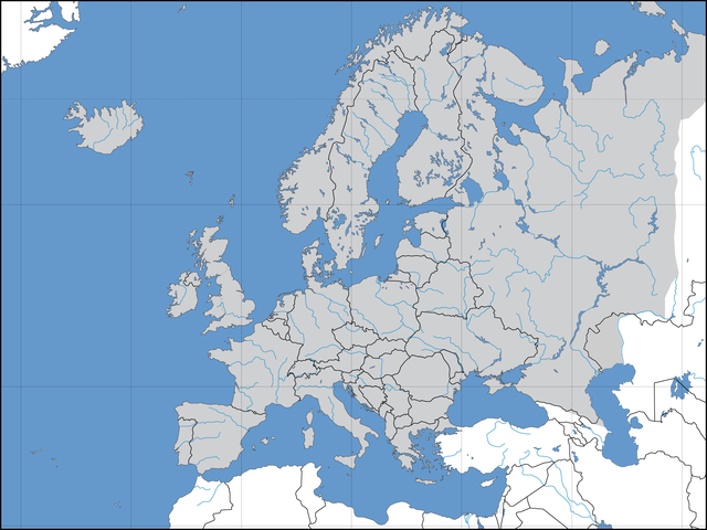
Deutsch: Politische Karte des Kontinents Europa. Leere Lagekarte zur Darstellung der Lage von Staaten in Europa. Europa ist grau hervorgehoben. |
||||||||
| កាលបរិច្ឆេទ | 02.09.2006 | ||||||||
| ប្រភព | ការងារផ្ទាល់របស់អ្នកផ្ទុកឡើង | ||||||||
| អ្នកនិពន្ធ | David Liuzzo | ||||||||
| ការអនុញ្ញាត (ប្រើឯកសារនេះឡើងវិញ) |
I, the copyright holder of this work, hereby publish it under the following licenses:
ឯកសារនេះជាប់អាជ្ញាបណ្ឌCreative Commons Attribution-Share Alike 2.0 Germany។
 You may select the license of your choice. |
||||||||
| ទំរង់ផ្សេងទៀត | Derivative works of this file: Convoy Faith route July 1943.png |

| Annotations | This image is annotated: View the annotations at Commons |
ប្រវត្តិឯកសារ
ចុចលើម៉ោងនិងកាលបរិច្ឆេទដើម្បីមើលឯកសារដែលបានផ្ទុកឡើងនៅពេលនោះ។
| ម៉ោងនិងកាលបរិច្ឆេទ | កូនរូបភាព | វិមាត្រ | អ្នកប្រើប្រាស់ | យោបល់ | |
|---|---|---|---|---|---|
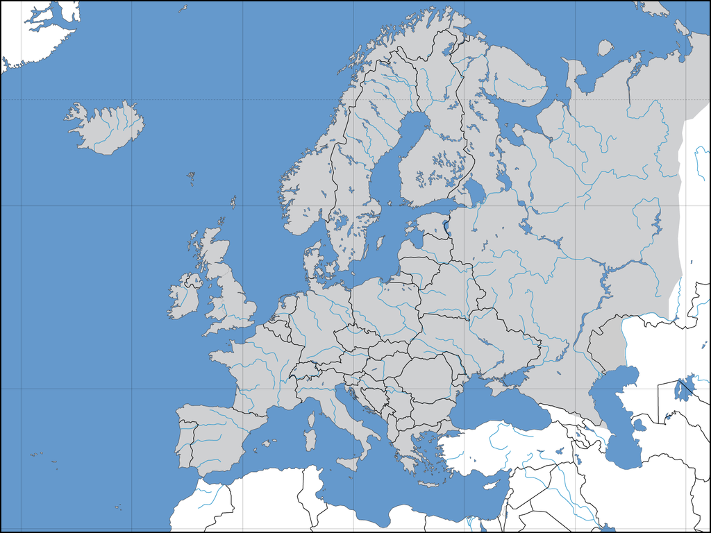
| បច្ចុប្បន្ន | ម៉ោង១២:៤០ ថ្ងៃច័ន្ទ ទី០៨ ខែសីហា ឆ្នាំ២០២២ | | ១៦០០ × ១២០០ (៤២០គីឡូបៃ) | Рагин1987 | More correct visualization of the dividing line on the territory of the Caucasus Range |
| ម៉ោង១៥:៥០ ថ្ងៃអាទិត្យ ទី៣១ ខែឧសភា ឆ្នាំ២០១៥ |  | ១៦០០ × ១២០០ (២២៣គីឡូបៃ) | Cmdrjameson | Compressed with pngout. Reduced by 101kB (31% decrease). | |
| ម៉ោង២០:៣៩ ថ្ងៃច័ន្ទ ទី២១ ខែកក្កដា ឆ្នាំ២០០៨ |  | ១៦០០ × ១២០០ (៣២៥គីឡូបៃ) | ShakataGaNai | Reverted to version as of 23:32, 9 May 2008 | |
| ម៉ោង១៤:៥២ ថ្ងៃច័ន្ទ ទី២១ ខែកក្កដា ឆ្នាំ២០០៨ |  | ១៦០០ × ១២០០ (៣២៣គីឡូបៃ) | European Boy~commonswiki | {{Information |Description= |Source= |Date= |Author= |Permission= |other_versions= }} | |
| ម៉ោង២៣:៣២ ថ្ងៃសុក្រ ទី០៩ ខែឧសភា ឆ្នាំ២០០៨ |  | ១៦០០ × ១២០០ (៣២៥គីឡូបៃ) | Solestin~commonswiki | correction of Ural border | |
| ម៉ោង២០:៥៩ ថ្ងៃអង្គារ ទី១៧ ខែតុលា ឆ្នាំ២០០៦ |  | ១៦០០ × ១២០០ (៤៤៤គីឡូបៃ) | David Liuzzo | Correction; Same licensing applies. | |
| ម៉ោង២៣:០០ ថ្ងៃអាទិត្យ ទី០៣ ខែកញ្ញា ឆ្នាំ២០០៦ |  | ១៦០០ × ១២០០ (១០៨គីឡូបៃ) | David Liuzzo | {{Information| |Description={{de|Politische Karte des Kontinents Europa. Leere Lagekarte zur Darstellung der Lage von Staaten in Europa. Europa ist grau hervorgehoben.}} |Source= Own Work |Date= 02.09.2006 |Author= David Liuzzo |Perm |
បម្រើបម្រាស់ឯកសារ
គ្មានទំព័រណាមួយដែលប្រើប្រាស់ឯកសារនេះទេ។
បម្រើបម្រាស់ឯកសារជាសាកល
វីគីដទៃទៀតដូចខាងក្រោមនេះប្រើប្រាស់ឯកសារនេះ៖
- ការប្រើប្រាស់នៅក្នុង af.wikipedia.org
- ការប្រើប្រាស់នៅក្នុង ary.wikipedia.org
- ការប្រើប្រាស់នៅក្នុង az.wikipedia.org
- ការប្រើប្រាស់នៅក្នុង be-tarask.wikipedia.org
- ការប្រើប្រាស់នៅក្នុង be.wikipedia.org
- ការប្រើប្រាស់នៅក្នុង bn.wikipedia.org
- ការប្រើប្រាស់នៅក្នុង cv.wikipedia.org
- ការប្រើប្រាស់នៅក្នុង de.wikipedia.org
- Volleyball-Europameisterschaft der Frauen 2005
- Benutzer:JagielloXXwieku
- Volleyball-Europameisterschaft der Männer 2005
- Volleyball-Europameisterschaft
- Vorlage:Navigationsleiste Volleyball-Europameisterschaften
- Volleyball-Europameisterschaft der Männer 2007
- Volleyball-Europameisterschaft der Frauen 2007
- Volleyball-Europameisterschaft der Frauen 2009
- Beachvolleyball-Europameisterschaft
- Benutzer:T.D.Rostock/WM 2007
- Speedway-Weltmeisterschaft 2007
- Volleyball-Europameisterschaft der Männer 2009
- Volleyball-Europameisterschaft der Männer 1948
- Volleyball-Europameisterschaft der Männer 1950
- Volleyball-Europameisterschaft der Männer 1951
- Volleyball-Europameisterschaft der Männer 1955
- Volleyball-Europameisterschaft der Männer 1958
- Volleyball-Europameisterschaft der Männer 1963
- Volleyball-Europameisterschaft der Männer 1967
- Volleyball-Europameisterschaft der Männer 1971
- Volleyball-Europameisterschaft der Männer 1975
- Volleyball-Europameisterschaft der Männer 1977
- Volleyball-Europameisterschaft der Männer 1979
- Volleyball-Europameisterschaft der Männer 1981
- Volleyball-Europameisterschaft der Männer 1983
- Volleyball-Europameisterschaft der Männer 1985
- Volleyball-Europameisterschaft der Männer 1987
- Volleyball-Europameisterschaft der Männer 1989
- Volleyball-Europameisterschaft der Männer 1991
- Volleyball-Europameisterschaft der Männer 1993
View more global usage of this file.