
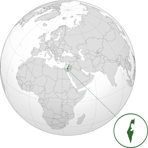
ឯកសារ:ISR orthographic.svg

Size of this PNG preview of this SVG file: ៦០០ × ៦០០ ភីកសែ. ភាពម៉ត់ផ្សេងទៀត៖ ២៤០ × ២៤០ ភីកសែ | ៤៨០ × ៤៨០ ភីកសែ | ៧៦៨ × ៧៦៨ ភីកសែ | ១០២៤ × ១០២៤ ភីកសែ | ២០៤៨ × ២០៤៨ ភីកសែ។
រូបភាពដើម (ឯកសារប្រភេទSVG ៦០០ × ៦០០ ភីកសែល ទំហំឯកសារ៖ ១.៣៩មេកាបៃ)
ចំណារពន្យល់
| ការពិពណ៌នា | |
| កាលបរិច្ឆេទ | |
| ប្រភព |
ការងារផ្ទាល់របស់អ្នកផ្ទុកឡើង with Natural Earth Data រូបភាពក្រាភិកវ៉ិចទ័រនេះត្រូវបានបង្កើតឡើងដោយប្រើ Inkscape . |
| អ្នកនិពន្ធ | Addicted04 |
ការដាក់អាជ្ញាប័ណ្ណ
I, the copyright holder of this work, hereby publish it under the following license:
ឯកសារនេះជាប់អាជ្ញាបណ្ឌCreative Commons Attribution-Share Alike 3.0 Unported។
- អ្នកមានសិទ្ធិ៖
- ចែកចាយ – ថតចំលងនិងចែកចាយស្នាដៃនេះ
- កែច្នៃ – កែច្នៃយកទៅប្រើ
- ក្រោមលក្ខខណ្ឌដូចតទៅនេះ៖
- ភាពជាម្ចាស់កម្មសិទ្ធ – You must give appropriate credit, provide a link to the license, and indicate if changes were made. You may do so in any reasonable manner, but not in any way that suggests the licensor endorses you or your use.
- share alike – If you remix, transform, or build upon the material, you must distribute your contributions under the same or compatible license as the original.
ប្រវត្តិឯកសារ
ចុចលើម៉ោងនិងកាលបរិច្ឆេទដើម្បីមើលឯកសារដែលបានផ្ទុកឡើងនៅពេលនោះ។
| ម៉ោងនិងកាលបរិច្ឆេទ | កូនរូបភាព | វិមាត្រ | អ្នកប្រើប្រាស់ | យោបល់ | |
|---|---|---|---|---|---|
| បច្ចុប្បន្ន | ម៉ោង០៣:៤៦ ថ្ងៃព្រហស្បតិ៍ ទី១៧ ខែមីនា ឆ្នាំ២០២២ | | ៦០០ × ៦០០ (១.៣៩មេកាបៃ) | Chaddy | Reverted to version as of 06:27, 24 March 2019 (UTC), there is already another map for the disputed borders: File:Israel (orthographic projection) with disputed territories.svg |
| ម៉ោង០៩:៤៨ ថ្ងៃព្រហស្បតិ៍ ទី១០ ខែមីនា ឆ្នាំ២០២២ |  | ៦០០ × ៦០០ (១.៤មេកាបៃ) | Beshogur | Reverted to version as of 06:25, 24 March 2019 (UTC) | |
| ម៉ោង០៦:២៧ ថ្ងៃអាទិត្យ ទី២៤ ខែមីនា ឆ្នាំ២០១៩ |  | ៦០០ × ៦០០ (១.៣៩មេកាបៃ) | BlueHypercane761 | Reverted to version as of 22:09, 21 September 2016 (UTC) Self-revert. As legitimate as this revision is, I will split it off into a new image file. | |
| ម៉ោង០៦:២៥ ថ្ងៃអាទិត្យ ទី២៤ ខែមីនា ឆ្នាំ២០១៩ |  | ៦០០ × ៦០០ (១.៤មេកាបៃ) | BlueHypercane761 | Restoring previous revision temporarily to retrieve image. | |
| ម៉ោង២២:០៩ ថ្ងៃពុធ ទី២១ ខែកញ្ញា ឆ្នាំ២០១៦ |  | ៦០០ × ៦០០ (១.៣៩មេកាបៃ) | Nableezy | make a new map, this one is fine | |
| ម៉ោង១៨:៥០ ថ្ងៃសុក្រ ទី១៦ ខែកញ្ញា ឆ្នាំ២០១៦ |  | ៦០០ × ៦០០ (១.៤មេកាបៃ) | Bolter21 | added disputed territories | |
| ម៉ោង០៣:០៦ ថ្ងៃអាទិត្យ ទី០៨ ខែកក្កដា ឆ្នាំ២០១២ |  | ៦០០ × ៦០០ (១.៣៩មេកាបៃ) | Addicted04 | America land | |
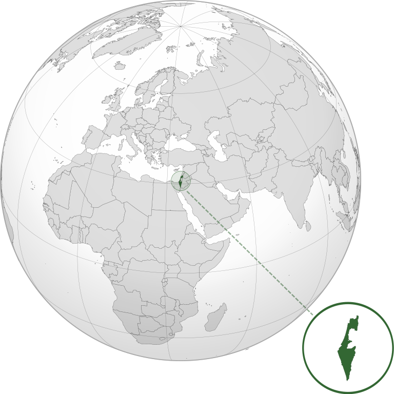
| ម៉ោង០២:៤២ ថ្ងៃអាទិត្យ ទី០៨ ខែកក្កដា ឆ្នាំ២០១២ |  | ៦០០ × ៦០០ (១.៣៩មេកាបៃ) | Addicted04 |
_with_disputed_territories.svg)
បម្រើបម្រាស់ឯកសារ
គ្មានទំព័រណាមួយដែលប្រើប្រាស់ឯកសារនេះទេ។
បម្រើបម្រាស់ឯកសារជាសាកល
វីគីដទៃទៀតដូចខាងក្រោមនេះប្រើប្រាស់ឯកសារនេះ៖
- ការប្រើប្រាស់នៅក្នុង af.wikipedia.org
- ការប្រើប្រាស់នៅក្នុង am.wikipedia.org
- ការប្រើប្រាស់នៅក្នុង arc.wikipedia.org
- ការប្រើប្រាស់នៅក្នុង av.wikipedia.org
- ការប្រើប្រាស់នៅក្នុង ay.wikipedia.org
- ការប្រើប្រាស់នៅក្នុង azb.wikipedia.org
- ការប្រើប្រាស់នៅក្នុង az.wiktionary.org
- ការប្រើប្រាស់នៅក្នុង ban.wikipedia.org
- ការប្រើប្រាស់នៅក្នុង bbc.wikipedia.org
- ការប្រើប្រាស់នៅក្នុង bcl.wikipedia.org
- ការប្រើប្រាស់នៅក្នុង bg.wikipedia.org
- ការប្រើប្រាស់នៅក្នុង bh.wikipedia.org
- ការប្រើប្រាស់នៅក្នុង bi.wikipedia.org
- ការប្រើប្រាស់នៅក្នុង bn.wikipedia.org
- ការប្រើប្រាស់នៅក្នុង bs.wikipedia.org
- ការប្រើប្រាស់នៅក្នុង bxr.wikipedia.org
- ការប្រើប្រាស់នៅក្នុង cdo.wikipedia.org
- ការប្រើប្រាស់នៅក្នុង ceb.wikipedia.org
- ការប្រើប្រាស់នៅក្នុង chr.wikipedia.org
- ការប្រើប្រាស់នៅក្នុង ckb.wikipedia.org
- ការប្រើប្រាស់នៅក្នុង cs.wikipedia.org
- ការប្រើប្រាស់នៅក្នុង da.wikipedia.org
- ការប្រើប្រាស់នៅក្នុង dty.wikipedia.org
- ការប្រើប្រាស់នៅក្នុង el.wikipedia.org
- ការប្រើប្រាស់នៅក្នុង en.wikipedia.org
- ការប្រើប្រាស់នៅក្នុង en.wikibooks.org
- ការប្រើប្រាស់នៅក្នុង es.wikipedia.org
- ការប្រើប្រាស់នៅក្នុង eu.wikipedia.org
- ការប្រើប្រាស់នៅក្នុង fi.wikipedia.org
- ការប្រើប្រាស់នៅក្នុង fr.wikipedia.org
- ការប្រើប្រាស់នៅក្នុង gn.wikipedia.org
- ការប្រើប្រាស់នៅក្នុង gu.wikipedia.org
- ការប្រើប្រាស់នៅក្នុង gv.wikipedia.org
- ការប្រើប្រាស់នៅក្នុង hak.wikipedia.org
- ការប្រើប្រាស់នៅក្នុង hr.wikipedia.org
- ការប្រើប្រាស់នៅក្នុង hy.wikipedia.org
- ការប្រើប្រាស់នៅក្នុង id.wikipedia.org
- ការប្រើប្រាស់នៅក្នុង ie.wikipedia.org
- ការប្រើប្រាស់នៅក្នុង incubator.wikimedia.org
View more global usage of this file.