
ឯកសារ:Papua New Guinea location map.svg

Size of this PNG preview of this SVG file: ៨០០ × ៤៨១ ភីកសែ. ភាពម៉ត់ផ្សេងទៀត៖ ៣២០ × ១៩២ ភីកសែ | ៦៤០ × ៣៨៥ ភីកសែ | ១០២៤ × ៦១៥ ភីកសែ | ១២៨០ × ៧៦៩ ភីកសែ | ២៥៦០ × ១៥៣៨ ភីកសែ | ២២៨០ × ១៣៧០ ភីកសែ។
រូបភាពដើម (ឯកសារប្រភេទSVG ២២៨០ × ១៣៧០ ភីកសែល ទំហំឯកសារ៖ ៥០១គីឡូបៃ)
ចំណារពន្យល់
| ការពិពណ៌នា |
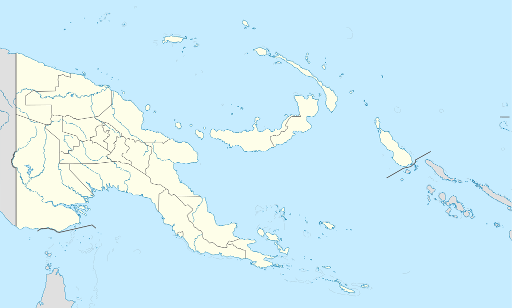
Deutsch: Positionskarte von Papua-Neuguinea
Quadratische Plattkarte. Geographische Begrenzung der Karte:
English: Location map of Papua New Guinea
Equirectangular projection. Geographic limits of the map:
|
| កាលបរិច្ឆេទ | 05-09-2008 |
| ប្រភព |
own work, using
|
| អ្នកនិពន្ធ | NordNordWest |
| ទំរង់ផ្សេងទៀត |
|


|
This map has been made or improved in the German Kartenwerkstatt (Map Lab). You can propose maps to improve as well.
|
ការដាក់អាជ្ញាប័ណ្ណ
I, the copyright holder of this work, hereby publish it under the following licenses:

|
រូបភាពនៃទំព័រនេះជាកម្មសិទ្ធិរបស់GNU Free Documentation License។ Version 1.2 ឬក៏ខ្ពស់ជាងនេះត្រូវបានឧបត្ថមគាំទ្រដោយ មូលនិធិសូហ្វវែរដោយឥតគិតថ្លៃ (Free Software Foundation) ដែលមិនមានផ្នែកណាមួយរបស់ប្រភពដើមរួមទាំងអក្សរនៅលើគំរបមុខនិងខ្នង ត្រូវបានផ្លាស់ប្តូរទេ។ ចំពោះផ្នែកដែលមិនអាចផ្លាស់ប្តូរបាន សូមមើលGNU Free Documentation License។ |
ឯកសារនេះជាប់អាជ្ញាបណ្ឌCreative Commons Attribution-Share Alike 3.0 Unported។
- អ្នកមានសិទ្ធិ៖
- ចែកចាយ – ថតចំលងនិងចែកចាយស្នាដៃនេះ
- កែច្នៃ – កែច្នៃយកទៅប្រើ
- ក្រោមលក្ខខណ្ឌដូចតទៅនេះ៖
- ភាពជាម្ចាស់កម្មសិទ្ធ – You must give appropriate credit, provide a link to the license, and indicate if changes were made. You may do so in any reasonable manner, but not in any way that suggests the licensor endorses you or your use.
- share alike – If you remix, transform, or build upon the material, you must distribute your contributions under the same or compatible license as the original.
You may select the license of your choice.
ប្រវត្តិឯកសារ
ចុចលើម៉ោងនិងកាលបរិច្ឆេទដើម្បីមើលឯកសារដែលបានផ្ទុកឡើងនៅពេលនោះ។
| ម៉ោងនិងកាលបរិច្ឆេទ | កូនរូបភាព | វិមាត្រ | អ្នកប្រើប្រាស់ | យោបល់ | |
|---|---|---|---|---|---|
| បច្ចុប្បន្ន | ម៉ោង១៥:៤៨ ថ្ងៃអង្គារ ទី០៥ ខែមិថុនា ឆ្នាំ២០១២ | | ២២៨០ × ១៣៧០ (៥០១គីឡូបៃ) | NordNordWest | upd |
| ម៉ោង០៧:៤៩ ថ្ងៃព្រហស្បតិ៍ ទី២៦ ខែឧសភា ឆ្នាំ២០១១ |  | ២២៨០ × ១៣៧០ (៧៦៧គីឡូបៃ) | NordNordWest | Reverted to version as of 19:42, 8 December 2009 no need to revert | |
| ម៉ោង២៣:០០ ថ្ងៃពុធ ទី២៥ ខែឧសភា ឆ្នាំ២០១១ |  | ២២៨០ × ១៣៧០ (៦៧៤គីឡូបៃ) | AlexR.L. | Reverted to version as of 19:51, 5 September 2008 | |
| ម៉ោង១៩:៤២ ថ្ងៃអង្គារ ទី០៨ ខែធ្នូ ឆ្នាំ២០០៩ |  | ២២៨០ × ១៣៧០ (៧៦៧គីឡូបៃ) | NordNordWest | + rivers | |
| ម៉ោង១៩:៥១ ថ្ងៃសុក្រ ទី០៥ ខែកញ្ញា ឆ្នាំ២០០៨ |  | ២២៨០ × ១៣៧០ (៦៧៤គីឡូបៃ) | NordNordWest | {{Information |Description= {{de|Positionskarte von Papua-Neuguinea}} Quadratische Plattkarte. Geographische Begrenzung der Karte: * N: 0.6° S * S: 12.2° S * W: 140.4° O * O: 159.7° O {{en|Location map of [[:en:Papua New Guinea |
បម្រើបម្រាស់ឯកសារ
គ្មានទំព័រណាមួយដែលប្រើប្រាស់ឯកសារនេះទេ។
បម្រើបម្រាស់ឯកសារជាសាកល
វីគីដទៃទៀតដូចខាងក្រោមនេះប្រើប្រាស់ឯកសារនេះ៖
- ការប្រើប្រាស់នៅក្នុង af.wikipedia.org
- ការប្រើប្រាស់នៅក្នុង als.wikipedia.org
- Vorlage:Positionskarte Papua-Neuguinea
- Port Moresby
- Bismarck-Archipel
- Neubritannien
- Duke-of-York-Inseln
- Admiralitäts-Inseln
- D’Entrecasteaux-Inseln
- Lavongai
- Westliche Inseln
- Feni-Inseln
- Lihir-Inseln
- Tabar-Inseln
- Tanga-Inseln
- St.-Matthias-Inseln
- Vitu-Inseln
- Neuirland
- Louisiade-Archipel
- Marshall-Bennett-Inseln
- Woodlark-Insel
- Trobriand-Inseln
- Mount Wilhelm
- ការប្រើប្រាស់នៅក្នុង an.wikipedia.org
- ការប្រើប្រាស់នៅក្នុង ar.wikipedia.org
- ការប្រើប្រាស់នៅក្នុង ast.wikipedia.org
- Puertu Moresbi
- Nueva Bretaña
- Montes Herzog
- Archipiélagu Bismarck
- Islles del Duque de York
- Tabubil
- Islla Daru
- Estrechu de Dampier
- Islles del Almirantalgu
- Monte Lamington
- Archipiélagu de les Lluisiaes
- Aeropuertu Internacional de Jacksons
- Aeropuertu de Guasopa
- Puertu de Dreger
- Módulu:Mapa de llocalización/datos/Papúa Nueva Guinea
- Módulu:Mapa de llocalización/datos/Papúa Nueva Guinea/usu
- Islles d'Entrecasteaux
- Provincia de Nueva Bretaña Occidental
- Islles Trobriand
- Kitava
- Vakuta
View more global usage of this file.