
ឯកសារ:Australia location map.svg

Size of this PNG preview of this SVG file: ៦៦៧ × ៥៩៩ ភីកសែ. ភាពម៉ត់ផ្សេងទៀត៖ ២៦៧ × ២៤០ ភីកសែ | ៥៣៤ × ៤៨០ ភីកសែ | ៨៥៥ × ៧៦៨ ភីកសែ | ១១៤០ × ១០២៤ ភីកសែ | ២២៨០ × ២០៤៨ ភីកសែ | ២០៥៥ × ១៨៤៦ ភីកសែ។
រូបភាពដើម (ឯកសារប្រភេទSVG ២០៥៥ × ១៨៤៦ ភីកសែល ទំហំឯកសារ៖ ១៨៥គីឡូបៃ)
ចំណារពន្យល់
| ការពិពណ៌នា |
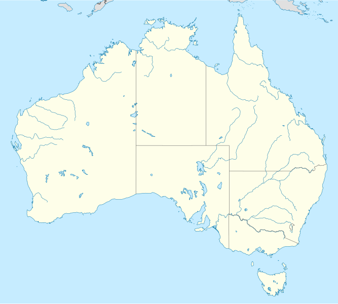
Deutsch: Positionskarte von Australien
Quadratische Plattkarte, N-S-Streckung 110 %. Geographische Begrenzung der Karte:
English: Location map of Australia
Equirectangular projection, N/S stretching 110 %. Geographic limits of the map:
|
||
| កាលបរិច្ឆេទ | |||
| ប្រភព |
own work, using
|
||
| អ្នកនិពន្ធ | NordNordWest | ||
| ការអនុញ្ញាត (ប្រើឯកសារនេះឡើងវិញ) |
I, the copyright holder of this work, hereby publish it under the following licenses:
ឯកសារនេះជាប់អាជ្ញាបណ្ឌCreative Commons Attribution-Share Alike 3.0 Unported។
You may select the license of your choice. |
||
| ទំរង់ផ្សេងទៀត |
Derivative works of this file: |


|
This map has been made or improved in the German Kartenwerkstatt (Map Lab). You can propose maps to improve as well.
|
ប្រវត្តិឯកសារ
ចុចលើម៉ោងនិងកាលបរិច្ឆេទដើម្បីមើលឯកសារដែលបានផ្ទុកឡើងនៅពេលនោះ។
| ម៉ោងនិងកាលបរិច្ឆេទ | កូនរូបភាព | វិមាត្រ | អ្នកប្រើប្រាស់ | យោបល់ | |
|---|---|---|---|---|---|
| បច្ចុប្បន្ន | ម៉ោង០១:៥៤ ថ្ងៃអង្គារ ទី១២ ខែមីនា ឆ្នាំ២០១៩ | | ២០៥៥ × ១៨៤៦ (១៨៥គីឡូបៃ) | AndreyKva | Optimized. |
| ម៉ោង១៨:២១ ថ្ងៃព្រហស្បតិ៍ ទី១៨ ខែកញ្ញា ឆ្នាំ២០០៨ |  | ២០៥៥ × ១៨៤៦ (៤០៨គីឡូបៃ) | NordNordWest | {{Information |Description= {{de|Positionskarte von Australien}} Quadratische Plattkarte, N-S-Streckung 110 %. Geographische Begrenzung der Karte: * N: 9.0° S * S: 44.5° S * W: 111.5° O * O: 155.0° O {{en|Location map of [[:en:Austr |
បម្រើបម្រាស់ឯកសារ
7 ទំព័រ ខាងក្រោមប្រើប្រាស់ឯកសារនេះ ៖
បម្រើបម្រាស់ឯកសារជាសាកល
វីគីដទៃទៀតដូចខាងក្រោមនេះប្រើប្រាស់ឯកសារនេះ៖
- ការប្រើប្រាស់នៅក្នុង ab.wikipedia.org
- ការប្រើប្រាស់នៅក្នុង af.wikipedia.org
- Barberton (dubbelsinnig)
- Broken Hill
- Townsville
- Adelaide
- Wallabies
- Groot Koraalrif
- Daintree Nasionale Park
- Rugbywêreldbeker 2003
- Rugbywêreldbeker 1987
- Rockingham
- Kwinana
- Aberdeen (dubbelsinnig)
- Sydney-opera
- Royal National Park
- Hartley
- Redcliffe
- Normanton, Queensland
- Sjabloon:Liggingkaart Australië
- Fitzroy North
- Australiese nasionale krieketspan
- Darwin Internasionale Lughawe
- Mountain View
- Uluru
- Krieketwêreldbeker 1992
- Krieketwêreldbeker 2015
- Barraba
- Hardingrivier
- Aberdeen, Australië
- Rugbywêreldbeker 2027
- T20I-wêreldbeker 2022
- Barberton, Australië
- Sydney-lughawe
- Perth-lughawe
- Brisbane-lughawe
- Melbourne-lughawe
- Adelaide-lughawe
- ការប្រើប្រាស់នៅក្នុង als.wikipedia.org
- ការប្រើប្រាស់នៅក្នុង am.wikipedia.org
- ការប្រើប្រាស់នៅក្នុង an.wikipedia.org
View more global usage of this file.