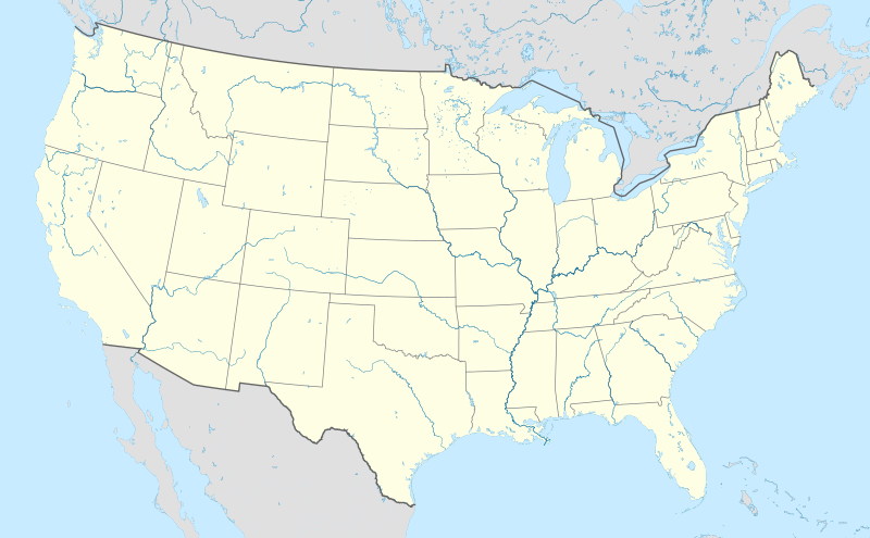
ឯកសារ:Usa edcp location map.svg
Appearance

Size of this PNG preview of this SVG file: ៨០០ × ៤៩៥ ភីកសែ. ភាពម៉ត់ផ្សេងទៀត៖ ៣២០ × ១៩៨ ភីកសែ | ៦៤០ × ៣៩៦ ភីកសែ | ១០២៤ × ៦៣៤ ភីកសែ | ១២៨០ × ៧៩២ ភីកសែ | ២៥៦០ × ១៥៨៥ ភីកសែ | ១១៨១ × ៧៣១ ភីកសែ។
រូបភាពដើម (ឯកសារប្រភេទSVG ១១៨១ × ៧៣១ ភីកសែល ទំហំឯកសារ៖ ២.០៣មេកាបៃ)
ប្រវត្តិឯកសារ
ចុចលើម៉ោងនិងកាលបរិច្ឆេទដើម្បីមើលឯកសារដែលបានផ្ទុកឡើងនៅពេលនោះ។
| ម៉ោងនិងកាលបរិច្ឆេទ | កូនរូបភាព | វិមាត្រ | អ្នកប្រើប្រាស់ | យោបល់ | |
|---|---|---|---|---|---|
| បច្ចុប្បន្ន | ម៉ោង២០:៤៨ ថ្ងៃអង្គារ ទី០២ ខែមេសា ឆ្នាំ២០២៤ |  | ១១៨១ × ៧៣១ (២.០៣មេកាបៃ) | Spesh531 | correction to Rhode Island border. Little Compton and Tiverton was previously shown to be in Massachusetts |
| ម៉ោង០៥:១២ ថ្ងៃពុធ ទី០៧ ខែមករា ឆ្នាំ២០១៥ |  | ១១៨១ × ៧៣១ (២.០៣មេកាបៃ) | Wereldburger758 | Removal empty elements outside viewbox. Renaming of files. Valid SVG now. | |
| ម៉ោង១៧:៥៦ ថ្ងៃអង្គារ ទី២៤ ខែសីហា ឆ្នាំ២០១០ |  | ១១៨១ × ៧៣១ (២.៥៧មេកាបៃ) | Uwe Dedering | coastline was to thin and bahamas pulled out of the atlantic | |
| ម៉ោង១០:៣៥ ថ្ងៃអង្គារ ទី២៤ ខែសីហា ឆ្នាំ២០១០ |  | ១១៨១ × ៧៣១ (៣.៤៨មេកាបៃ) | Uwe Dedering | {{Information |Description={{en|1=Location map of the USA (without Hawaii and Alaska). EquiDistantConicProjection : Central parallel : * N: 37.0° N Central meridian : * E: 96.0° W Standard parallels: * 1: 32.0° N * 2: 42.0° N Made with Natural Ea |
បម្រើបម្រាស់ឯកសារ
5 ទំព័រ ខាងក្រោមប្រើប្រាស់ឯកសារនេះ ៖
បម្រើបម្រាស់ឯកសារជាសាកល
វីគីដទៃទៀតដូចខាងក្រោមនេះប្រើប្រាស់ឯកសារនេះ៖
- ការប្រើប្រាស់នៅក្នុង ab.wikipedia.org
- ការប្រើប្រាស់នៅក្នុង ace.wikipedia.org
- ការប្រើប្រាស់នៅក្នុង af.wikipedia.org
- Barberton (dubbelsinnig)
- Bretton Woods, New Hampshire
- Lake Placid
- Hollywood
- Aberdeen (dubbelsinnig)
- Jamestown, Virginië
- FIFA Sokker-Wêreldbekertoernooi in 1994
- Kategorie:Lughawens in die Verenigde State van Amerika
- Warrenton
- Winston-Salem
- Gettysburg
- Hartford
- Princeton, Wes-Virginië
- Princeton, Illinois
- Princeton, Indiana
- Princeton, Kentucky
- New Brunswick, New Jersey
- Mountain View
- Century City, Los Angeles
- FIFA Sokker-Wêreldbekertoernooi in 2026
- Harding, Minnesota
- Harding, Wisconsin
- Harding Township, New Jersey
- Russian Hill
- Moscow, Idaho
- Asheville
- Coloradorivier (dubbelsinnig)
- Tuscaloosa, Alabama
- Provo
- Verenigde State se nasionale krieketspan
- T20I-wêreldbeker 2024
- Kaap Canaveral- ruimtemagstasie
- Manson-krater
- Gebruiker:Aliwal2012/Lughawens in die VSA
- ការប្រើប្រាស់នៅក្នុង als.wikipedia.org
- ការប្រើប្រាស់នៅក្នុង an.wikipedia.org
View more global usage of this file.


